What is recorded here
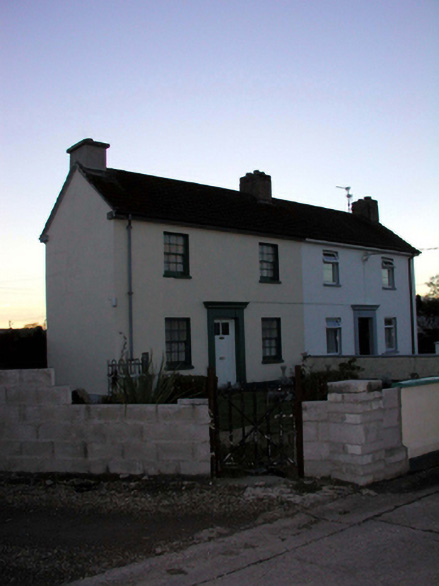
Semi-detached three-bay two-storey local authority house, c.1940, retaining original aspect with single-bay two-storey flat-roofed stepped lower return to south. Pitched (shared) roof with profiled clay tile, clay ridge tiles, rendered chimney stack, and cast-iron rainwater goods on rendered eaves. Flat felt roof to return. Painted rendered walls. Square-headed window openings with concrete sills, and 6/6 timber sash windows. Square-headed door opening with rendered surround having moulded cornice, and glazed tongue-and-groove timber panelled door. Set back from line of road in own grounds with forecourt having painted rendered boundary wall, c.1990, to front, and wrought iron gate.
An appealing modest-scale house, built as part of a development of sixteen houses (including 22809201 - 2/WD-21-09-201 - 2), which is of significance as evidence of the continuation of the tradition of sponsored housing in Lismore in the early to mid twentieth century. Very well maintained, the house retains its original form and massing, together with most of the original fabric, and contributes to the group value of the site.
This does not grant access. Most recorded buildings are privately owned; view them only from public ground unless the owner allows entry.
Places near here
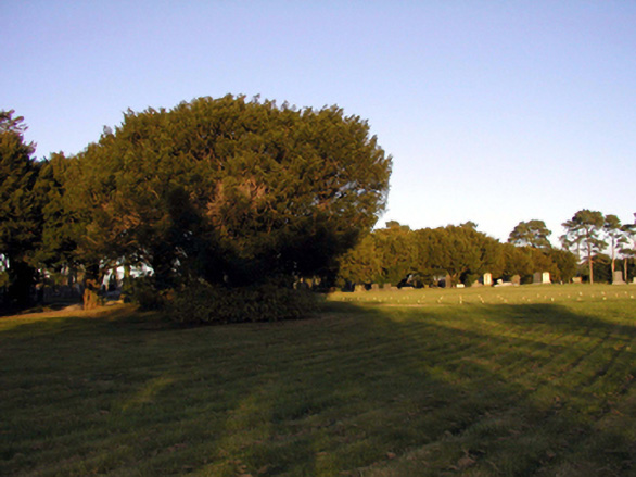 Saint Carthage's CemeteryOfficially recorded historic building · 180 yd
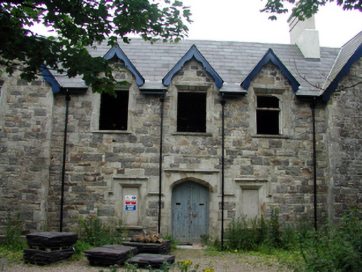 Lismore Union WorkhouseOfficially recorded historic building · 217 yd
 Ambrose Power MemorialMemorial · 674 yd
 Mound in Ballysaggart Beg (east)Mound · 754 yd
 St. Carthaghs WellHoly well · 832 yd
 European YewEuropean Yew · 859 yd
 LismoreMemorial · 929 yd
 Lady Louisa's WalkWalking route · 978 yd
 Delavay's magnoliaDelavay's magnolia · 1033 yd
 Cottage IslandIslet · 1391 yd
 Ballysaggartmore TowersHeritage attraction · 2.2 mi
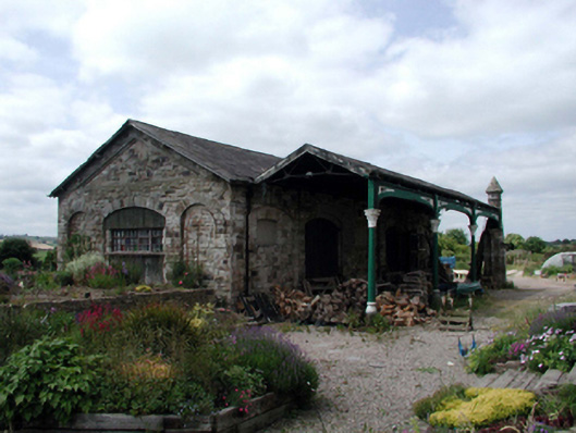 Lismore Railway Stationtrain shed · 228 yd
Other information
Photo: National Inventory of Architectural Heritage · Website use allowed for educational or private purposes with source credit