What is recorded here
Inverberg, also called St. Mary's of Ynver, marked a medieval church and graveyard in County Antrim. That is all the official record still names. The building has vanished, but the graveyard may still hold its dead beneath ordinary ground. A place can lose every wall and keep its shape in memory.
The official Northern Ireland record identifies this as MEDIEVAL CHURCH & GRAVEYARD (site of): INVERBERG or ST. MARY'S OF YNVER. Recorded period: MEDIEVAL. The official map point was placed at the centre of the recorded archaeological site from the source map reference.
Medieval Christian church and graveyard; 12th to 16th century. Significance lies in its association with early ecclesiastical activity in the Larnaca area and the potential for archaeological remains reflecting medieval religious and burial practices.
The monument record does not grant public access. Check the route and ask the landowner before entering private land.
- What survives
- Recorded monument
Places near here
 Ulster BankBank · 157 yd
 TOWER-HOUSE: OLDERFLEETE CASTLE in LarneTOWER-HOUSE: OLDERFLEETE CASTLE · 162 yd
 Larne War MemorialMemorial · 179 yd
.jpg?width=1280) Town HallTown hall · 182 yd
Town HallTown hall · 182 yd TOWER-HOUSE: TCHEVET CASTLE (unlocated) in Curran AND Drumaliss; LarneTOWER-HOUSE: TCHEVET CASTLE (unlocated) · 1128 yd
 MV Princess Victoria MemorialMemorial · 1.0 mi
 SQUARE ENCLOSURE? in BallylumfordSQUARE ENCLOSURE? · 1.3 mi
 A.P. SITEA.P. SITE, possible enclosure · 2.1 mi
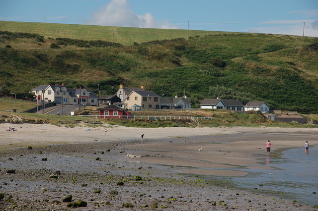 Browns bay walkBeach / strand · 2.3 mi
 Swan IslandIslet · 2.3 mi
 Garden TrailWalking route · 2.9 mi
 Ballygalley HeadCliff · 3.5 mi