What is recorded here
Three burnt mounds lie hidden beneath Town Parks and Commons of Lloyd, marked only by broken stone and dark clay. One mound stretched twenty metres across and contained a circular pit deep enough to hold water or heat stones for cooking. People may have gathered there beside the Hill of Lloyd to cook, clean clothes or mark a boundary long before roads cut through the land. The mounds still hold that much larger human activity, waiting beneath grass and memory.
Situated in a hollow at the bottom of the NE-facing slope of the Hill of Lloyd. Archaeological testing (04E0913) by J. Roynane (2005) at Testing Area 14 of Contract 4 of the M3 motorway identified three spreads of burnt mound material on the route of the N52 Kells link road. The material was on either side of the NW-SE field bank and townland boundary between Commons of Lloyd to the SW and Town Parks to the NE (excavations.ie 2004:1345). These were completely resolved (E003156) by D. Bayley (2010) as Town Parks/Commons of Lloyd 1 in February – March 2007 (excavations.ie 2007:1401) when just over 3700 square metres were opened and three burnt mounds were recorded.
This consisted of a large spread (diam. 20m; T 0.21m) of dark brown silty clay with broken and burnt stones that covered a possible trough in the form of a circular flat-bottomed pit (diam. 1.2m; max. D 0.96m) filled with redeposited brown/black gravelly silt with burnt stones. This was located at the S extent of the mound and was sealed by mound material. At the NE edge of the mound an oval pit (dims 1.5m x 0.9m; D 0.3m) had a clay lining and a fill of charcoal-rich black sandy silt beneath a top fill of burnt mound material. This mound was cut by numerous post-medieval field drains, and no artefacts were recovered from it. (Bayley 2010, 8-9)
Site the attached site plan and monument plan from Bayley (2010, figs 5, 10)
Compiled by: Michael Moore
Date of upload: 11 March 2022
The monument record does not grant public access. Check the route and ask the landowner before entering private land.
- What survives
- Recorded monument
Places near here
 Kells Union Workshop, site ofArchaeological place · 571 yd
 St. Columbs WellHoly well · 805 yd
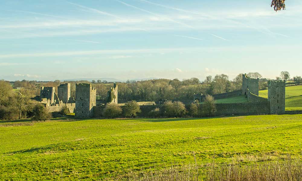 Religious houseReligious house, Augustinian canons · 915 yd
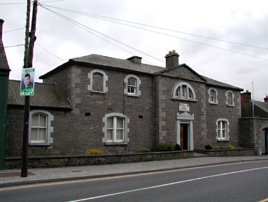 The Bridewellprison/jail · 930 yd
 The Pauper's CemeteryMemorial · 977 yd
 Great Famine ProjectMemorial · 979 yd
 CastleCastle, unclassified · 1251 yd
 Black WoodWood · 1.2 mi
 Mausoleum WoodWood · 1.2 mi
 MountainpoleMountain / peak · 1.4 mi
 Castle ruinsCastle · 2.1 mi
 MaperathMountain / peak · 2.5 mi