
What is recorded here
Situated at the NW edge of a low-lying basin in a small D-shaped enclosure (dims c. 8m NE-SW; c. 5.75m NW-SE) defined by an earthen bank and hedge, c. 500m WSW of the site of the early church (ME017-044012-). It is accessed by a sign-posted path from the Lough Crew road (R 163). The well is one source of a stream that curves around the hill on which Kells is located, running under the streets in places. It curves to the E and N of the town, joining the NW-SE River Balckwater close to the mound (ME017-007----). The well is oval (int. dims 1.2m NW-SE; 0.8m NE-SW) with a masonry canopy that is open (Wth 0.55m; H 1.05m) to the SW. There is no evidence of veneration, but a pattern is held on June 9th since the well was conserved by a local group in 2009. (French 2012, 21-2)
Compiled by: Michael Moore
Date of upload: 30 March, 2016
St. Columba's Well is associated with the early Christian saint St. Columba, who was a key figure in the spread of Christianity in Ireland and Scotland during the 6th century. Traditionally, such wells were believed to have curative properties, particularly for ailments of the eyes and skin, and were often sites of pilgrimage and seasonal rituals.
The monument record does not grant public access. Check the route and ask the landowner before entering private land.
- What survives
- Recorded monument
Places near here
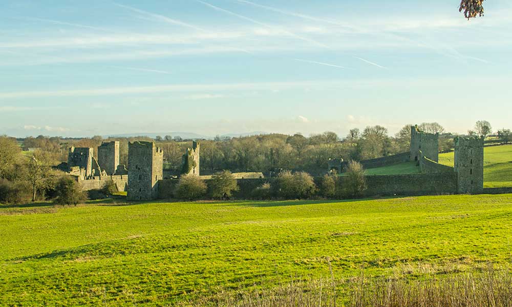 Religious houseReligious house, Augustinian canons · 314 yd
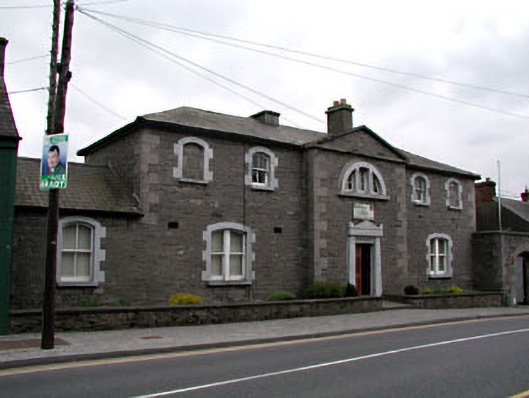 The Bridewellprison/jail · 428 yd
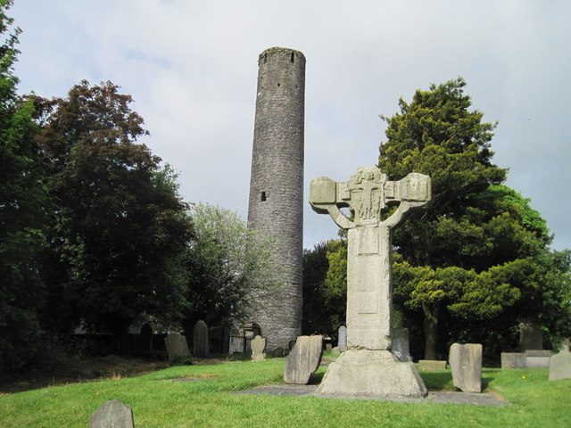 Kells Round TowerMemorial · 557 yd
 James CarolanMemorial · 558 yd
 Round TowerRound tower · 563 yd
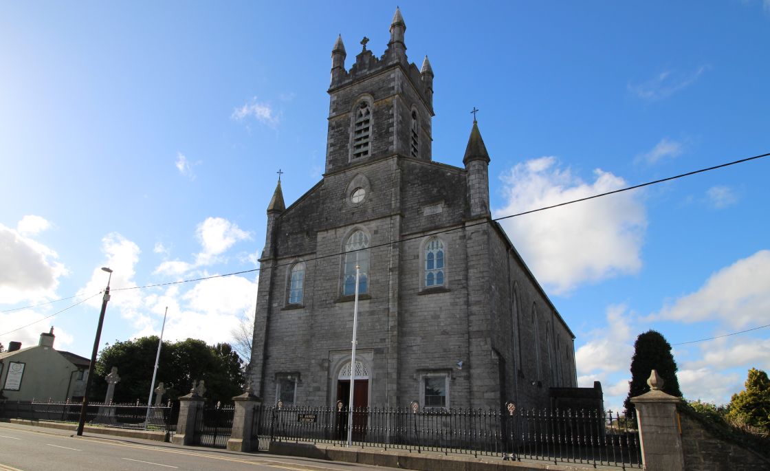 Font (present location) in Town Parks (kells Upper By.)Font (present location) · 586 yd
 CastleCastle, unclassified · 794 yd
 Tiermurrin WoodWood · 1420 yd
 Lady's Well WoodForest · 1.0 mi
 Castle ruinsCastle · 1.8 mi
 MountainpoleMountain / peak · 1.8 mi
 BalreaskMountain / peak · 2.8 mi
Other information
Photo: Credit not shown in the picture search · Rights wording not checked; contact us if this picture should be removed