What is recorded here
Indicated is a ruined fairy fort in County Cavan, Ireland, where a twenty-seven-metre earthen ring has surrendered half its shape to surrounding fields. The remaining bank still marks the boundary between human ownership and forgotten life. That much is known. Whether the ring excluded people or concealed them from ordinary sight is no longer certain. The land kept the shape long after human memory failed.
Marked 'Fort' on OS 1836 ed. Raised circular area (int. diam. c. 27m) enclosed by an earthen bank, which been much modified and incorporated into the field boundary from S-W-NNW, and traces of a shallow fosse. Both bank and fosse have been levelled from NNW-E-S. Original entrance not recognisable.
The above description is derived from the published 'Archaeological Inventory of County Cavan' (Dublin: Stationery Office, 1995). In certain instances the entries have been revised and updated in the light of recent research.
Date of upload/revision: 22 December 2008
The monument record does not grant public access. Check the route and ask the landowner before entering private land.
- What survives
- Recorded monument
Places near here
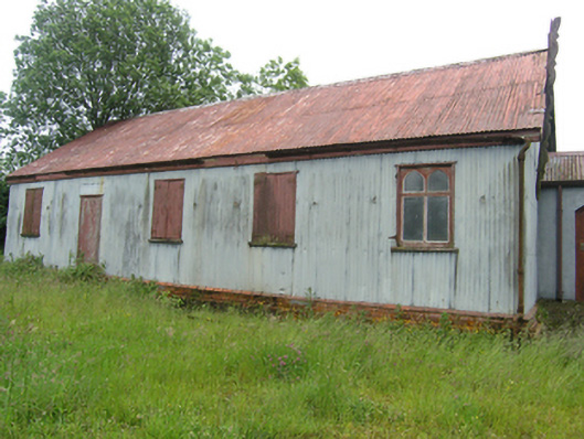 Tonaghbane Parochial Hallchurch hall/parish hall · 180 yd
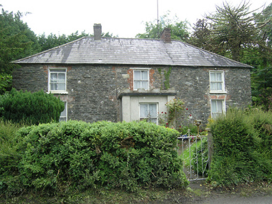 Mountain Viewhouse · 393 yd
 Whitelough PlantationsForest · 681 yd
 Church WoodForest · 684 yd
 Drummury FortArchaeological place · 882 yd
 Brown's HillMountain / peak · 1025 yd
 CorickMountain / peak · 1445 yd
 Bawn in DrumsheilBawn · 1.1 mi
 Fastry fortFairy fort / earthen ringfort · 1.1 mi
 Site of Old CastleCastle, unclassified · 1.6 mi
 Giant's GraveArchaeological place · 3.0 mi
 Graveyard in Drumgoon (clankee By.)Graveyard · 4.3 mi