What is recorded here
This record refers to a discrete section of the tradition pilgrimage route known as Togher Patrick, which is shown on the 1839 and 1930 OS 6-inch map. This section of the route is depicted on the maps as a dashed line, coinciding in parts with field boundaries; it has a roughly E-W orientation, reflecting the overall trajectory of the route from Ballintubber Abbey (MA089-058001-) toward its destination on the summit of Croagh Patrick. On the 1839 map this portion of the route is marked for a distance of c. 500m, but on the later edition the E part of this (c. 250m) is no longer shown. On both editions the W end of the dashed line representing the route ends at a standing stone (MA089-045----), known as ‘Clogh Patrick’, which appears to have served as a significant waymark. There are no visible remains of a built trackway or road.
Compiled by: Jane O'Shaughnessy
Date of upload: 10 April 2018
This remains an important historical record, but the official description says the monument is no longer visible or has been destroyed. The monument record does not grant public access. Check the route and ask the landowner before entering private land.
- What survives
- No visible remains or recorded as destroyed
Places near here
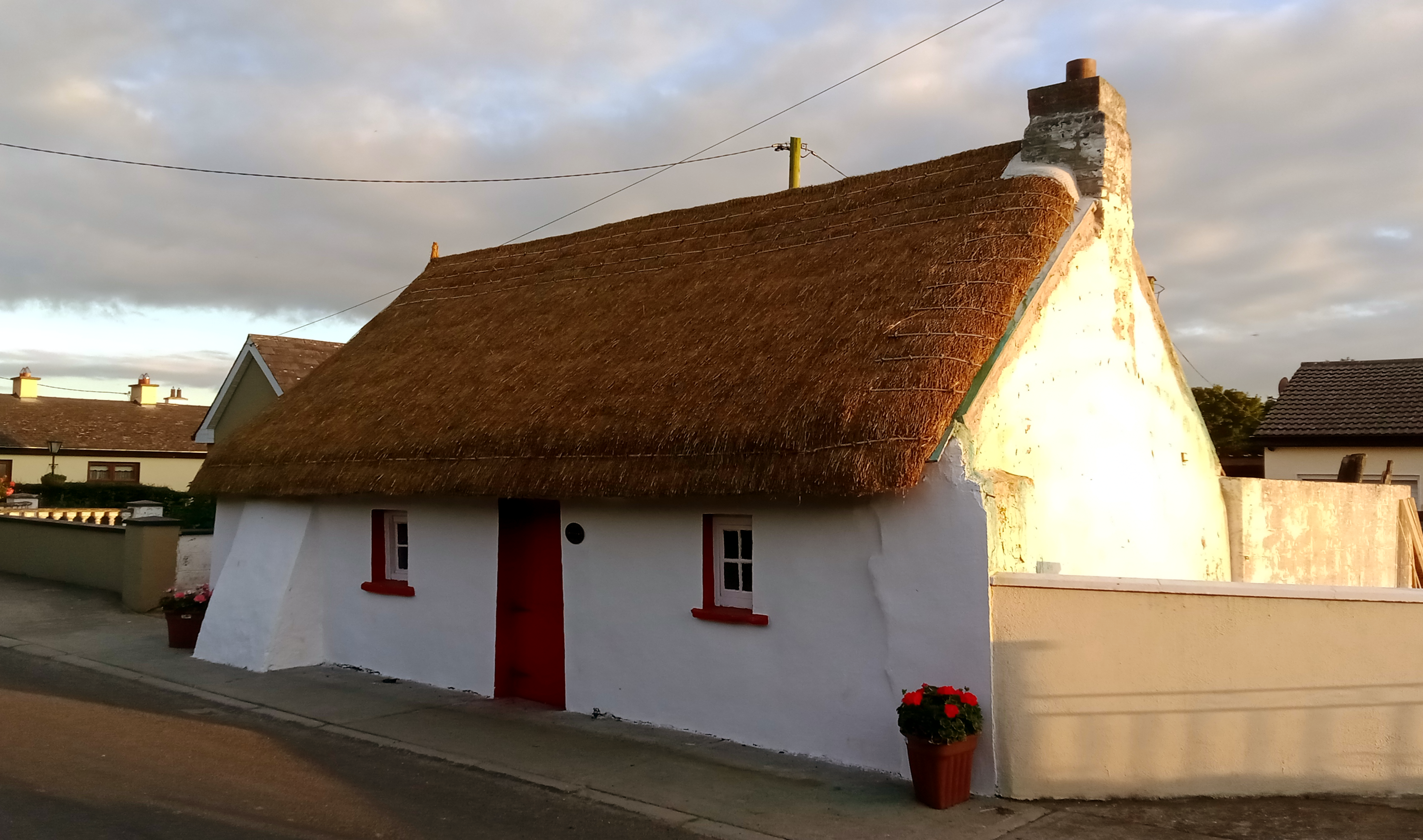 Clogh PatrickRitual site, holy/saint's stone · 259 yd
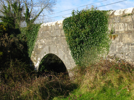 Claureen Bridgebridge · 297 yd
 Luffertaun Castle in ruinsCastle, unclassified · 706 yd
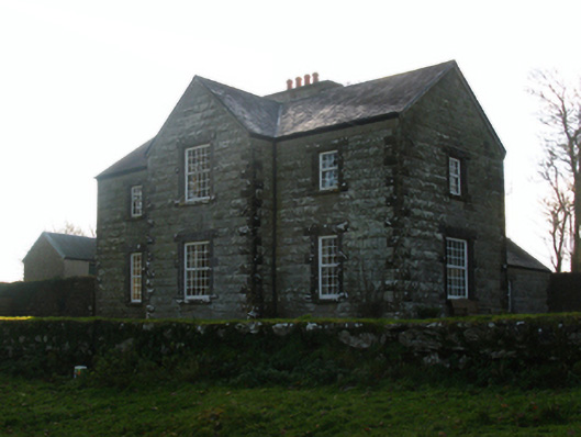 Luffertaun Housefarm house · 727 yd
 IndicatedEnclosure · 745 yd
 The Celtic FurrowHeritage attraction · 1.4 mi
 Ballintubber AbbeyHeritage attraction · 1.5 mi
 Castle in ruinsCastle, unclassified · 2.1 mi
 Mearing IslandIslet · 2.5 mi
 Bird IslandIslet · 2.8 mi
 Cerberus, from Thomastown HouseMemorial · 3.2 mi
 Doon WoodWood · 3.5 mi