What is recorded here
Bawn, Togher is a lost Westmeath farmstead whose name still appears on every map, hinting at a post-1700 walled house that no longer stands. The 1837 chart shows three buildings beside a walled garden, reached by a long driveway pointing toward Togher Castle. A visitor in 1980 found only a two-storey farmhouse, which its occupant believed was two to three centuries old. The wall and perhaps the whole bawn vanished, leaving behind a name that refuses to stop pointing at what is gone.
The place-name 'Bawn' is depicted on all editions of the OS 6-inch maps which may indicate the presence of a post-1700 bawn wall enclosing a post-1700 house. On the 1837 ed. OS 6-inch map the place-name is annotated beside a cluster of three buildings with walled garden to E. These buildings were accessed via a long driveway to S. Togher Castle (WM001-004----) located 1.1km to SSW. Site visited by ASI in 1980 and no castle or upstanding remains of a bawn wall was identified at this location. The two storey high farmhouse was thought to be c. 200-300 years old according to the occupant at the time.
Compiled by: Frank Coyne & Caimin O'Brien
Date of upload: 15 November 2016
The monument record does not grant public access. Check the route and ask the landowner before entering private land.
- What survives
- Recorded monument
Places near here
 HacuredFairy fort / earthen ringfort · 530 yd
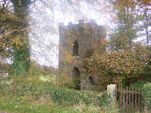 Togher Church (Foyran)church/chapel · 640 yd
 Gore Porthouse · 1038 yd
 IndicatedFairy fort / earthen ringfort · 1252 yd
 Togher CastleCastle · 1301 yd
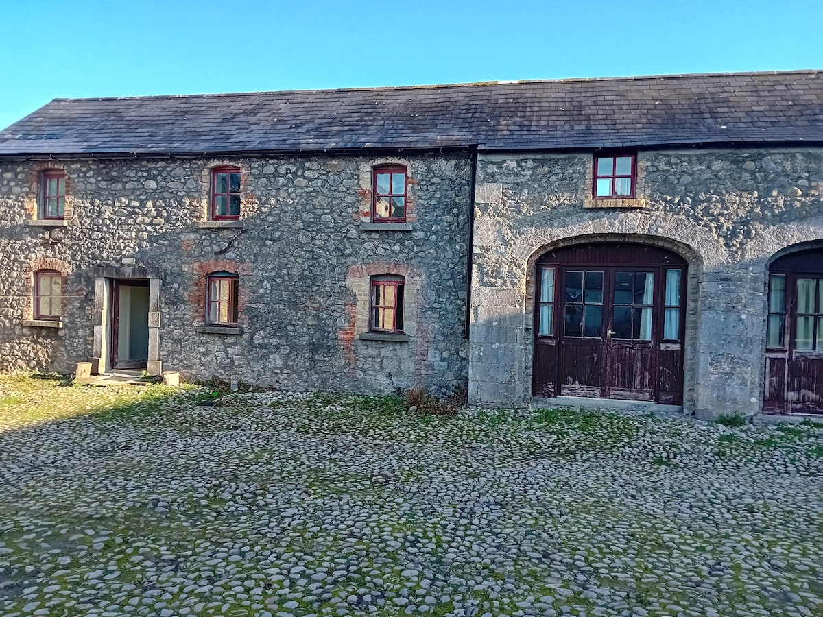 Bawn in TullystownBawn · 1432 yd
 Fox CovertForest · 1.4 mi
 Muldarry PointHeadland · 1.8 mi
 Ross BayBay · 1.8 mi
 Church IslandIslet · 1.9 mi
 Watty's RocksIslet · 2.0 mi
 MullaghmeenMountain / peak · 2.0 mi