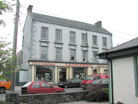
What is recorded here
Detached six-bay three-storey rendered shop, built c. 1870, formerly with dwelling over. Shopfront to full width of ground floor, two-storey return to east, three-storey return to west. Pitched slate roof, clay ridge tiles, brick corbelled chimneystacks, concrete verges to gables, moulded cast-iron gutters on moulded corbels, rectangular cast-iron downpipes. Painted smooth-rendered walling, raised quoins. Square-headed window openings, painted stone sills, moulded architraves to second floor, first floor window aedicules with panelled pilasters, plain friezes and moulded dentilled cornices, painted one-over-one timber sash windows. Shopfront with smooth-rendered fascia with raised lettering under moulded cornice, square-headed display windows flanked by paired pilasters with stop-mouldings, simple capitals and bases to either side of openings. Square-headed shop door opening set between paired pilasters to centre, painted timber glazed double doors, plain-glazed overlight. Round-headed double-recessed door opening leading to ground floor hall and dwelling on upper floors, plain-glazed fanlight, painted timber door with six raised-and-fielded panels and central bead. Street fronted, lower two-storey bank to east, gateway leading to yard and rubble stone boundary wall to west.
This building dominates the street at this point. The retention of much original or early fabric adds to the character. The well-detailed shopfront also adds considerably to the architectural quality.
This does not grant access. Most recorded buildings are privately owned; view them only from public ground unless the owner allows entry.
Places near here
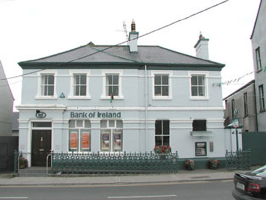 Bank of Irelandbank/financial institution · 23 yd
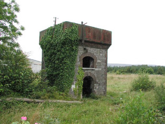 Tobercurry Railway Stationbuilding misc · 241 yd
 Rathscanlon FortArchaeological place · 1219 yd
 Indicated (1838).Fairy fort / earthen ringfort · 1514 yd
 Ballyara Castle (in Ruins)Castle, unclassified · 1.1 mi
 Muckelty HillMountain / peak · 2.5 mi
 Castle (Site of)Castle, unclassified · 2.7 mi
 Tawnyart WoodWood · 4.7 mi
 Old Cave Burial GroundArchaeological place · 4.8 mi
 New WoodWood · 5.0 mi
 Tymon's HillMountain / peak · 5.1 mi
 Lough Talt TrailVisitor information · 7.8 mi
Other information
Photo: National Inventory of Architectural Heritage · Website use allowed for educational or private purposes with source credit