
What is recorded here
Cahir Castle stands intact on a rocky island in the River Suir, where water and stone still block the kind of assault that broke most medieval forts. It has watched County Tipperary for over seven hundred years, surviving the Butler expansion, the 1599 cannon siege, and the deadly inheritance fight of 1627. What remains is not a polite ruin but a warning made visible: strength can be built, tested, and rewritten by whatever force arrives next.
Cahir Castle is recorded as a castle in County Tipperary. Its open map record supplies this location and any linked names or public references.
Cahir Castle was built by the Fitzgeralds, Earls of Kildare, in the late 13th century, with significant expansion in the 14th century. It is important as one of the strongest and best-preserved medieval castles in Ireland, and it played a key role in the Nine Years' War against English rule.
- Operator
- Office of Public Works
Places near here
 Cahir CastleHeritage attraction · 26 yd
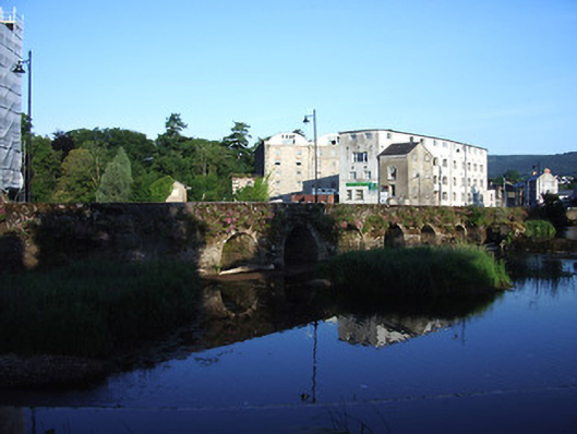 bridgebridge · 68 yd
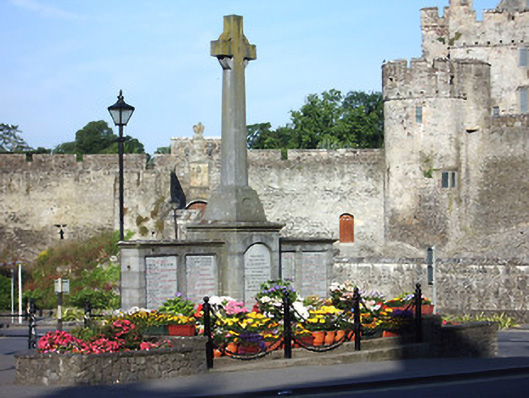 Great War Memorialmonument · 83 ydSiege of Cahir Castlesiege · 258 yd
 Ladys WellHoly well · 520 yd
 Caher AbbeyHeritage attraction · 591 yd
 Site of CastleCastle, unclassified · 1044 yd
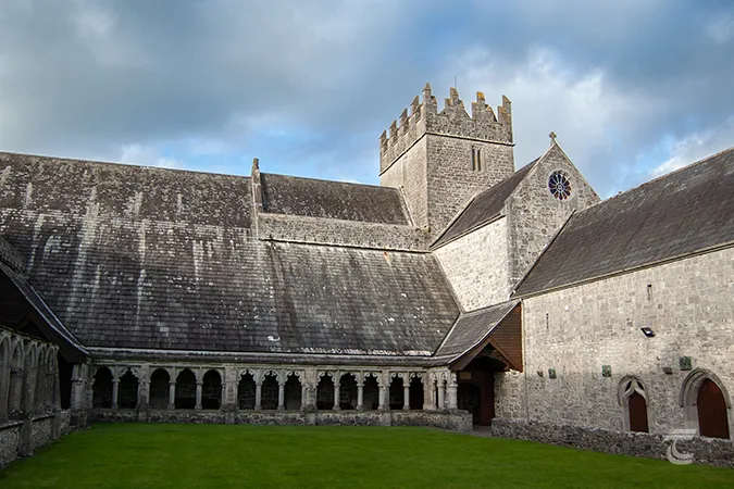 Enclosure in Caherabbey UpperEnclosure · 1201 yd
 Pedunculate OakPedunculate Oak · 1501 yd
 European YewEuropean Yew · 1.2 mi
 Castle (in ruins)Castle, unclassified · 1.9 mi
 Slieveanard NE TopMountain / peak · 3.0 mi
Other information
Photo: Benutzer:StefanServos · CC BY-SA 3.0