What is recorded here
In tillage. Visible on Bing Maps Aerial view (pers. comm. P. Reid) as the cropmarks of linear and rectilinear back-filled fosses covering a large area (est. L c. 300m; est. Wth c. 300m), possibly the remains of an extensive field system and associated enclosures.
Compiled by: Gearóid Conroy
Date of upload: 12 November 2014
The monument record does not grant public access. Check the route and ask the landowner before entering private land.
- What survives
- Recorded monument
Places near here
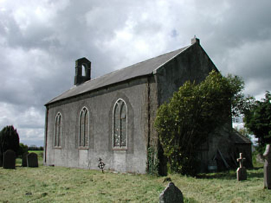 Saint James's Church (Ballyshannon)church/chapel · 1205 yd
 IndicatedCastle, motte · 1249 yd
 Walls of ChurchChurch · 1.2 mi
 Kilrush RathEnclosure · 1.3 mi
 Blackhall CastleCastle, tower house · 1.3 mi
 Enclosure in Lipstown UpperEnclosure · 1.6 mi
 Battle of Kilrushbattle · 1.6 mi
 Narraghmore Nature ReserveForest · 2.4 mi
 HawthornHawthorn · 2.8 mi
 Gorden Bennet Race memorialMemorial · 5.0 mi
 History of Moat of ArdscullVisitor information · 5.0 mi
 Japanese GardensHeritage attraction · 5.4 mi