What is recorded here
Situated at the bottom of a S-N valley, on the W side of the stream. A spread of burnt and broken stones (diam. c. 11m; T 0.15m) was found during the laying of a Bord Gáis pipeline. Most of the material probably lies outside the pipeline corridor to the W. (M. Gowen fieldnotes, 1986)
The above description is derived from the published 'Archaeological Inventory of County Waterford' (Dublin: Stationery Office, 1999). In certain instances the entries have been revised and updated in the light of recent research.
Date of upload/revision: 23 December 2008
Burnt mound in Tinhalla is a fulacht fia, typically dating to the Bronze Age. These sites are significant as they provide insight into prehistoric cooking, ritual, or industrial activities.
The monument record does not grant public access. Check the route and ask the landowner before entering private land.
- What survives
- Recorded monument
Places near here
 Font in TinhallaFont · 521 yd
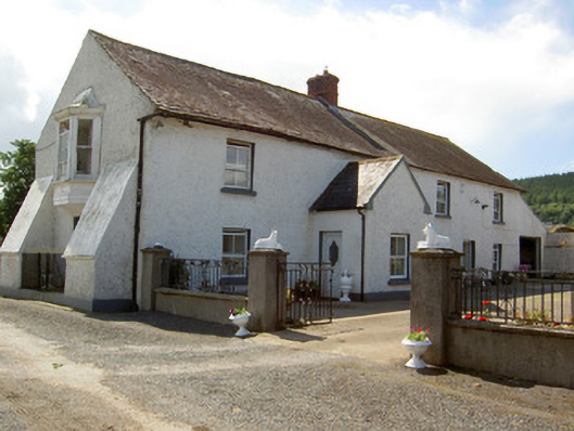 Tinhalla Househouse · 1007 yd
 IndicatedFairy fort / earthen ringfort · 1242 yd
 CarrigfenoaghMountain / peak · 1472 yd
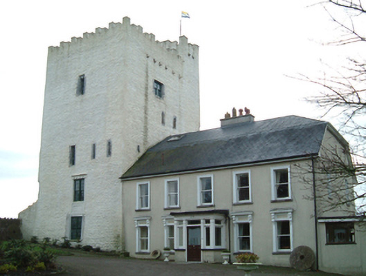 Tybroughney Castlefarm house · 1587 yd
 Tiberaghney CastleCastle, tower house · 1587 yd
 Tower HillMountain / peak · 1.3 mi
 CastleCastle, Anglo-Norman masonry castle · 1.8 mi
 Ormonde CastleHeritage attraction · 1.8 mi
 Ponsonby Memorial TowerMonument · 1.8 mi
 Tower Hill WoodWood · 2.0 mi
 Fiddown IslandIslet · 2.2 mi