What is recorded here
Situated on SE edge of a plateau overlooking the Vartry River to the E. The 'Moat' was described in 1838 by John O'Donovan as a ‘remarkable round and pretty high hillock which they call a moate, but which, however, has no sign or vestige of a moate on or about it’ (O'Flanagan 1928, 81). It is depicted as a steep side hillock on the 1838 ed. OS 6-inch map with OS trig. station marking spot height of 907 ft. OD on the summit of the mound. The revised 1907 ed. OS 25-inch map shows that by this time a gravel pit had been opened in the W quadrant of the hillock and that the profile of the earthwork had been severely altered. This earthwork was visited in 1989 and described as a 'natural sand deposit whose interior has been almost completely removed through quarrying leaving a flat central area (dims. 160m E-W x 120m N-S)surrounded by the undug edge of the natural mound. No trace of any artificial features other than those created by quarrying (discontinued)' (ASI Field Report 09/11/1989). Two urn burials discovered in 1981 when they were exposed on the E side in the section of a natural hillock known locally as 'Sutton's Moat' (Cahill and Sikora 2011, Vol. 1, 656-63). Local folklore from Calary National School recorded that 'The Moate in front of my home was believed to be a "Fairy-Moate" (The Schools’ Collection, Volume 0912, Page 239).
Compiled by: Claire Breen
Revised by: Caimin O'Brien
Date of upload: 24 July 2012
A Neolithic passage tomb; significant as one of the few recorded prehistoric monuments in the Glasnamullen area.
The monument record does not grant public access. Check the route and ask the landowner before entering private land.
- What survives
- Recorded monument
Places near here
 Calary Churchchurch/chapel · 285 yd
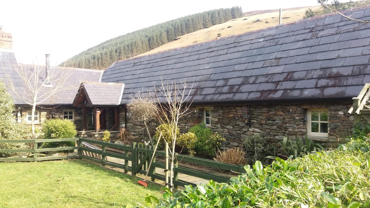 Enclosure in GlasnamullenEnclosure · 789 yd
 Ecclesiastical enclosure in GlasnamullenEcclesiastical enclosure · 1406 yd
 Deerpark TrailWalking route · 1.5 mi
 Giant SequoiaGiant Sequoia · 1.8 mi
 Powerscourt WaterfallWaterfall · 1.8 mi
 Carrigower BogNature reserve · 1.9 mi
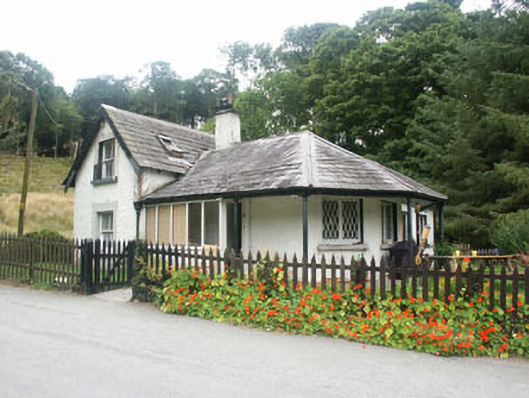 gate lodgegate lodge · 2.1 mi
 Great SugarloafMountain / peak · 2.1 mi
 Great Sugar LoafMountain · 2.2 mi
 The Sugar Loaf WayWalking route · 2.3 mi
 DjouceMountain / peak · 2.5 mi