What is recorded here
Indicated is an oval ecclesiastical enclosure in County Cork, Ireland, holding a central church, graveyard, ogham stone, bulláin and two underground passages within stone and earthen banks. It remains a bounded religious landscape rather than an ordinary field, with its parts still arranged around prayer, burial and hidden movement. The clear shape and named features make the purpose easy to recognise even when the exact dates recede.
In pasture, on E-facing slope. Oval area (c. 80m E-W; 70m N-S) enclosed to N and W by stone wall (H 2m; Wth 1.2m) with shallow external fosse; stone-faced earthen bank (H c. 1.5m; Wth 1.2m) to S and E. Interior slopes gently to E; radial line of rock outcrop in SW quadrant; two Man-made underground passages (CO122-106---; CO122-075002-) in N half of enclosure; graveyard (CO122-075003-) in centre containing church (CO122-075005-); ogham stone (CO122-075004-) and bulláin (CO122-109---). Holy well (CO122-075006-) adjacent to external SE bank of enclosure. (Hurley 1980, 64).
The above description is derived from the published 'Archaeological Inventory of County Cork. Volume 1: West Cork' (Dublin: Stationery Office, 1992). In certain instances the entries have been revised and updated in the light of recent research.
Date of upload/revision: 14 January 2009
The monument record does not grant public access. Check the route and ask the landowner before entering private land.
- What survives
- Recorded monument
Places near here
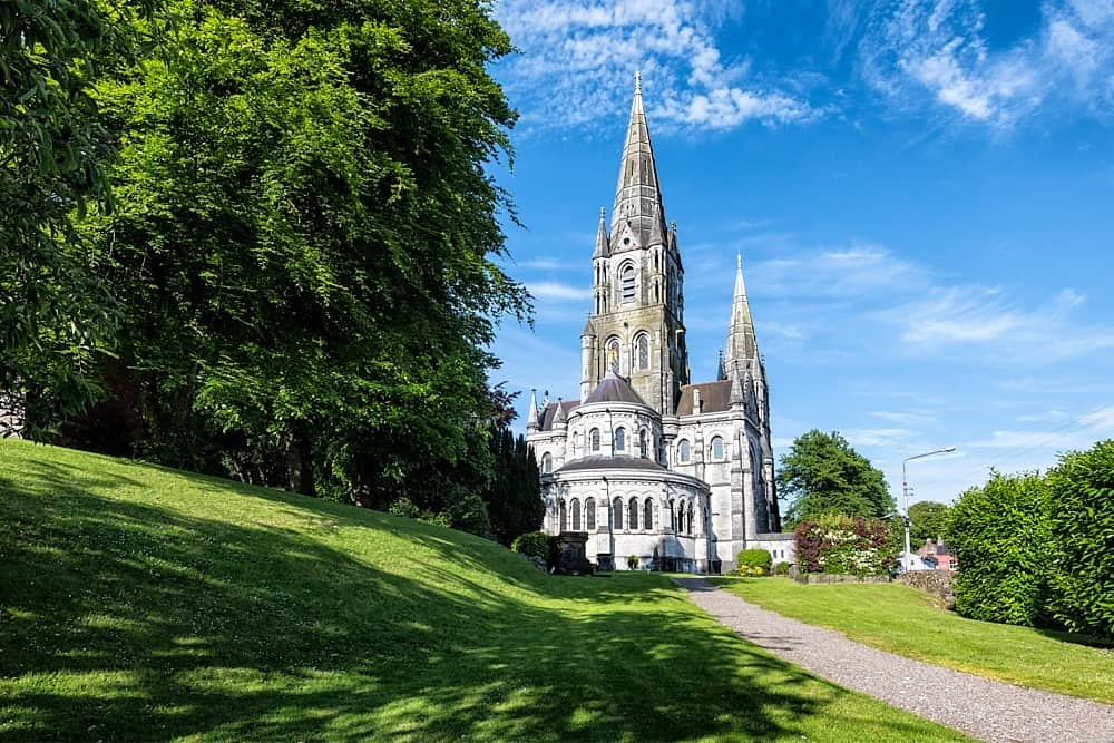 Man-made underground passage in Templebryan NorthMan-made underground passage · 47 yd
 Stone CircleStone circle, multiple-stone · 253 yd
 Church in Templebryan NorthChurch · 399 yd
 Noel Phairhouse · 424 yd
 Battle of the Big Cross (1798) Memorial MonumentMonument · 1236 yd
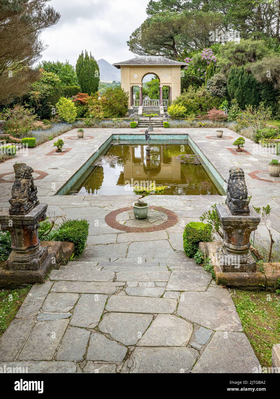 Garden WoodWood · 1.4 mi
 Clonakilty Tourist OfficeVisitor information · 1.5 mi
 Cloch na gCoillteMemorial · 1.6 mi
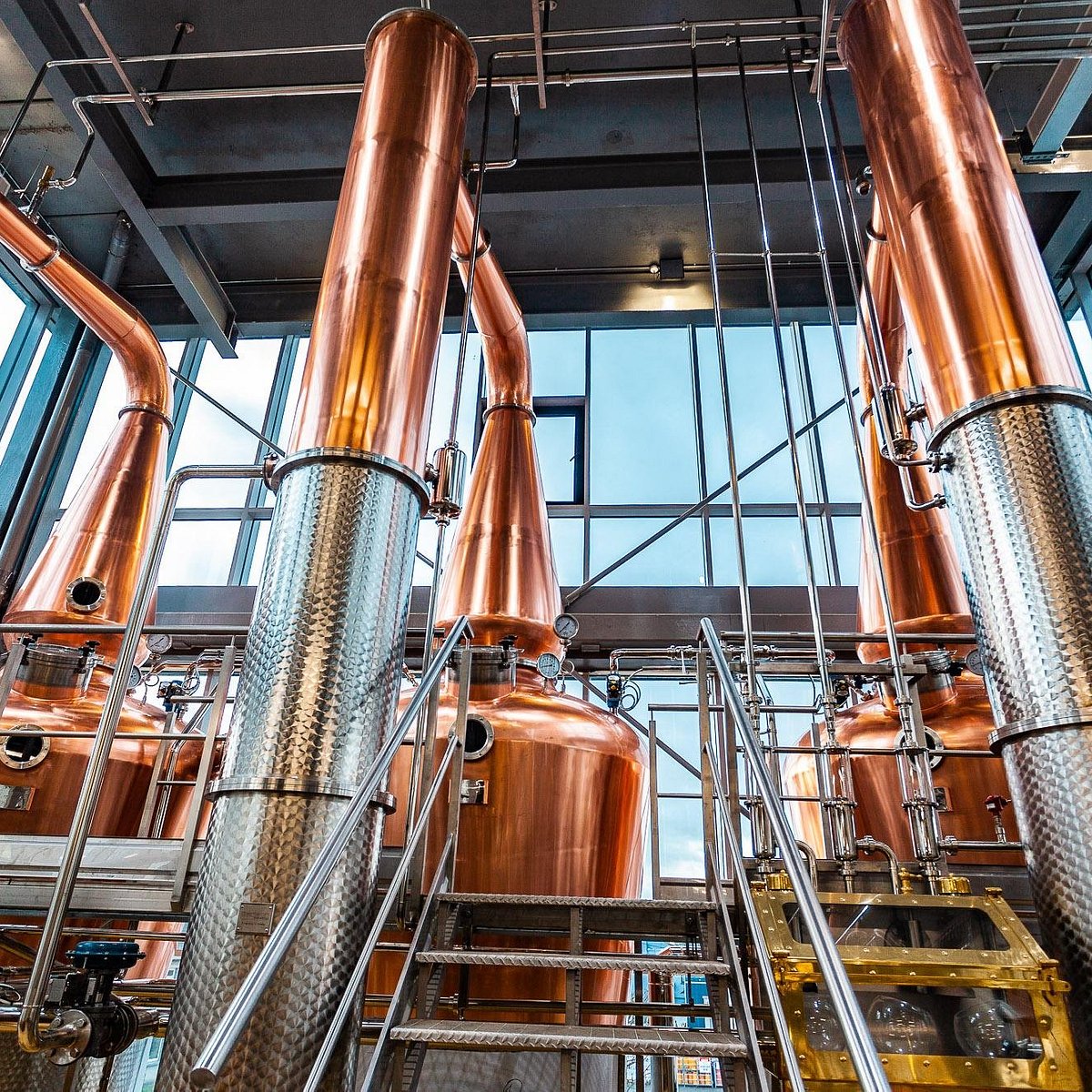 Clonakilty DistilleryHeritage attraction · 1.6 mi
 Michael Collins House MuseumMuseum · 1.6 mi
 Castle (Site of)Castle, unclassified · 1.9 mi
 Clonakilty HarbourBay · 2.2 mi