What is recorded here
Indicated is a destroyed fairy fort in County Cavan, Ireland. Road building erased its eastern and southern edges, leaving only a western break and faint southern ditch behind a twenty-five-metre circular scar. It is no longer a complete fort, but the lost shape still appears in the land, waiting to be remembered.
Raised circular area (int. diam. 24.9m) enclosed by an earthen bank and a fosse identifiable only from S-WSW and infilled elsewhere. Site has been destroyed by road building from NE-E-SE. Break in bank at W may represent original entrance.
The above description is derived from the published 'Archaeological Inventory of County Cavan' (Dublin: Stationery Office, 1995). In certain instances the entries have been revised and updated in the light of recent research.
Date of upload/revision: 22 December 2008
This remains an important historical record, but the official description says the monument is no longer visible or has been destroyed. The monument record does not grant public access. Check the route and ask the landowner before entering private land.
- What survives
- No visible remains or recorded as destroyed
Places near here
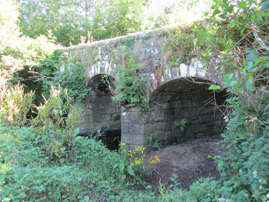 Bonebrook Bridgebridge · 1423 yd
 Enclosure in ArderryEnclosure · 1605 yd
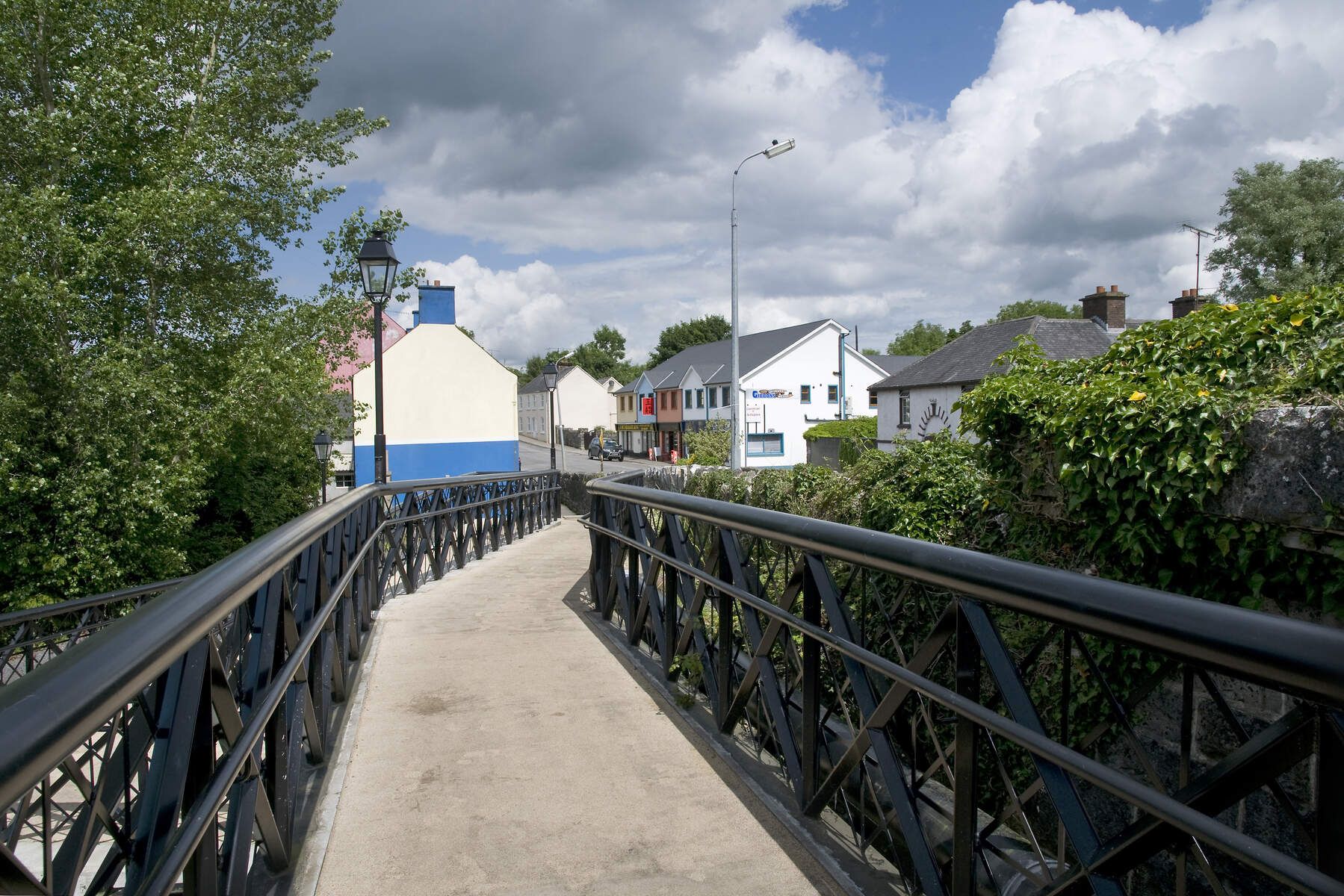 DerrinivverMountain / peak · 1.2 mi
 Owengallees WoodlandForest · 1.3 mi
 IndicatedEnclosure · 1.4 mi
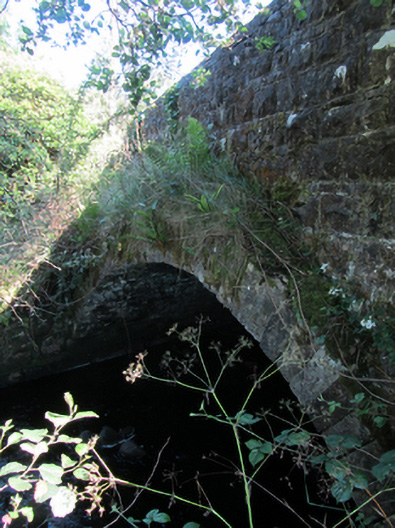 bridgebridge · 1.4 mi
 Gortnacargy Bog WoodlandWood · 1.7 mi
 DerrymonyMountain / peak · 2.0 mi
 Prospect BayBay · 2.1 mi
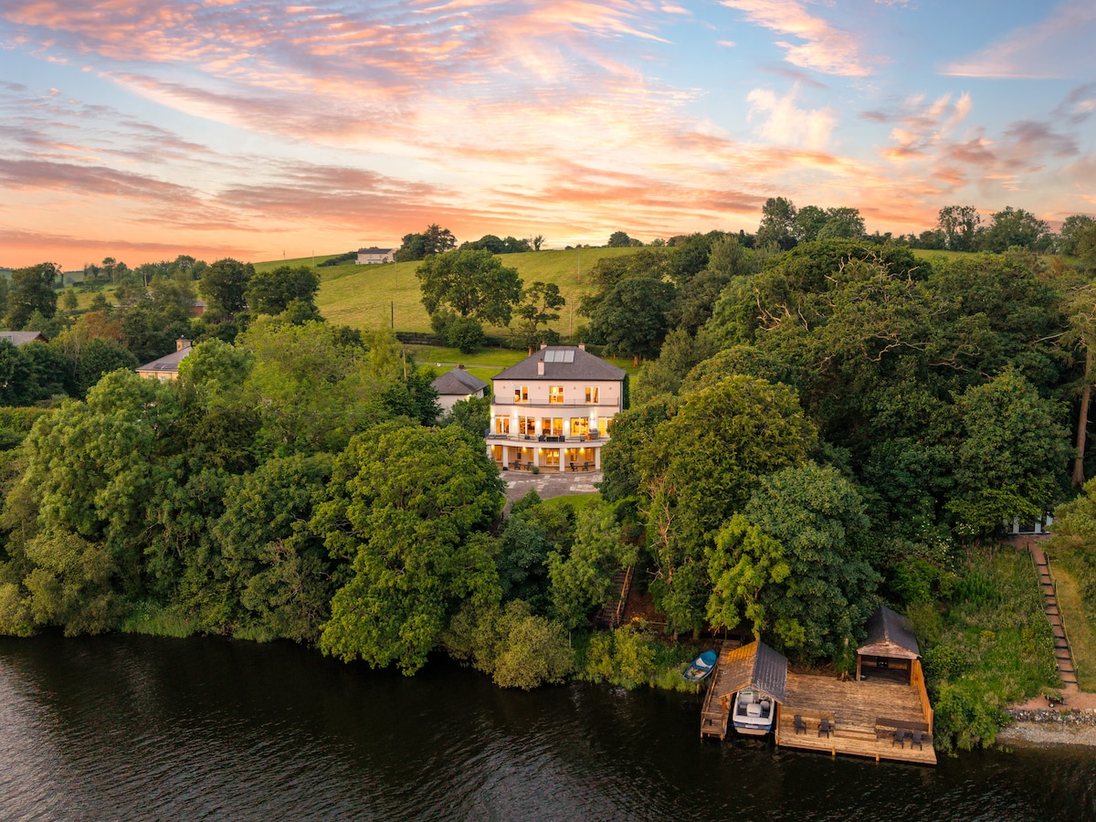 Baron's IslandIslet · 2.2 mi
 Out-Doors and DirtyHeritage attraction · 2.3 mi
 Saint Mogue's IslandIslet · 2.9 mi