What is recorded here
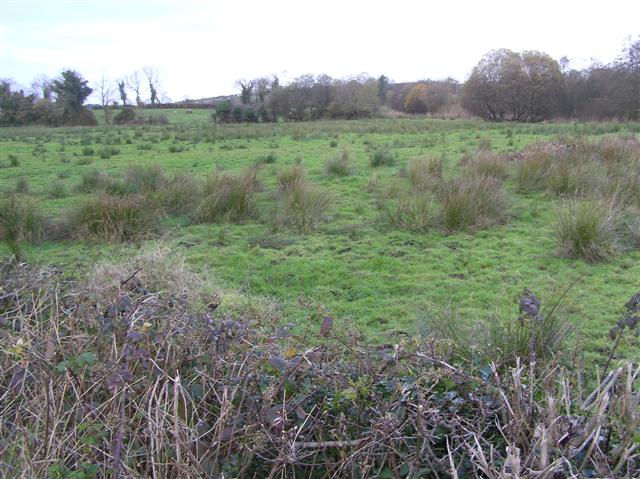
Removed standing stones in Fermanagh suggest a landscape that once marked time, boundary or memory before human hands changed it. Tattymacall may have held a stone tall enough to be seen from a distance, guiding people or warning them against forgetting. Its absence does not erase the shape it made; it redirects attention to the field, the horizon and the reason someone believed one stone must remain visible.
The official Northern Ireland record identifies this as STANDING STONE (removed). Recorded period: PREHISTORIC; UNCERTAIN. The official map point was placed at the centre of the recorded archaeological site from the source map reference.
The monument record does not grant public access. Check the route and ask the landowner before entering private land.
- What survives
- Recorded monument
Places near here
_-_geograph.org.uk_-_2434151.jpg?width=1280) WEDGE TOMB: GIANT'S GRAVE in MountdrumWEDGE TOMB: GIANT'S GRAVE · 495 yd
WEDGE TOMB: GIANT'S GRAVE in MountdrumWEDGE TOMB: GIANT'S GRAVE · 495 yd_-_geograph.org.uk_-_2434153.jpg?width=1280) MEGALITHIC TOMB in MountdrumMEGALITHIC TOMB · 497 yd
MEGALITHIC TOMB in MountdrumMEGALITHIC TOMB · 497 yd Cloghtogle MountainMountain / peak · 1728 yd
 Parish ChurchChurch · 1.4 mi
 Presbyterian ChurchChurch · 1.4 mi
 Topped MountainMountain / peak · 1.7 mi
 Pubble ForestForest · 2.7 mi
 The Ice HouseHeritage attraction · 3.1 mi
 Coneyburrow WoodWood · 3.1 mi
 Castle CooleCountry House · 3.2 mi
 Cleenish IslandIsland · 4.1 mi
 Knock IslandIsland · 4.2 mi