What is recorded here
Indicated was a circular fairy fort on a gentle Monaghan slope, its earthen bank and inner quarry mounds marking a boundary between human fields and older invisible life. Farm machinery later cut gaps through the wall, and buildings finally erased the ring itself. The site did not disappear so much as stop being visible, leaving behind a name that still points at what the soil forgot.
Located towards the bottom of a gentle SE-facing slope. This was described in 1968 (SMR file) as a circular grass-covered area (diam. 43.4m NE-SW; 40m NW-SE) with rock outcrop and quarry mounds in the interior. It was defined by an earthen bank (at W: Wth of base 3.1m; int. H 0.5m; ext. H 0.7m) with some bushes that had an outer field bank built outside it W-N-E-SSW. There was no visible fosse and there were wide gaps used by farm machinery at SSE (Wth of base 1.5m) and WNW (Wth of base 1.9m). Archaeological testing (07E1161) immediately to the SE produced no related material (Russell 2008), but the monument was removed by farm buildings after 2012 (OSAP).
The above description is derived from the published 'Archaeological Inventory of County Monaghan' (Dublin: Stationery Office, 1986). In certain instances the entries have been revised and updated in the light of recent research.
Compiled by: Michael Moore
Date of revision: 26 February 2018
Amended: 16 January 2020
The monument record does not grant public access. Check the route and ask the landowner before entering private land.
- What survives
- Recorded monument
Places near here
 IndicatedCrannog · 980 yd
 Fairy fort / stone ringfort in AnnagloghFairy fort / stone ringfort · 1448 yd
 Church in CroaghanChurch · 1546 yd
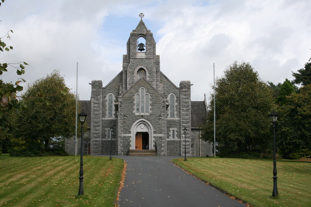 Saint Michael's Catholic Churchchurch/chapel · 1.8 mi
 Monaghan WayWalking route · 2.2 mi
 Battle of ClontibretBattlefield · 2.6 mi
 John Francis GreenMemorial · 4.4 mi
 Mullyash MountainMountain / peak · 4.6 mi
 The CrescentMemorial · 4.8 mi
 Castleshane WaterfallWaterfall · 5.0 mi
 Harper's IslandIslet · 5.0 mi
 Bawn in OnomyBawn · 5.1 mi