What is recorded here
Promontory fort is a promontory fort (coastal) in Tankardstown, County Waterford, Ireland. An aerial survey identified an oval southwest-facing sloping headland cut off from the mainland by two low earthen banks and an intervening fosse. Crop-marks of a levelled curving bank or wall with an external fosse enclose an area inland and north of the fort, suggesting the headland was once larger before much of it collapsed into the cove to the northwest.
Identified from an aerial survey by Markus Casey who described this monument as an oval SW-facing sloping headland which is cut off from the mainland by two low earthen banks and an intervening fosse, partly disturbed by a land commission earthen field boundary. From the air the crop-marks of a levelled curving bank or wall with external fosse can be seen enclosing an area inland and N of the fort, suggesting that the headland was once larger and that much of it collapsed into the cove to the NW. A gap in the enclosing elements may be the original entrance and the interior is featureless. A small circular earthen enclosure lies along the cliff c. 70m NW and the adjoining headland W of this enclosure also appears to be a promontory fort (WA025-132----). The area is one of fertile pasture and tillage. Sheer cliffs plummet to the sea below. (Casey 2001)
Compiled by: Jean Farrelly
Date of upload: 24 November 2021
The monument record does not grant public access. Check the route and ask the landowner before entering private land.
- What survives
- Recorded monument
Places near here
 Enclosure in TankardstownEnclosure · 80 yd
 Tankardstown 19th Century Copper Mining GeoparkHeritage attraction · 535 yd
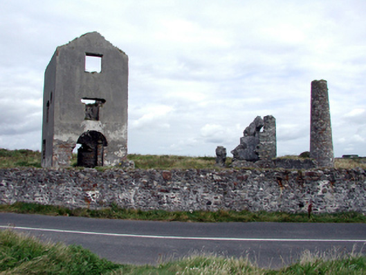 engine houseengine house · 540 yd
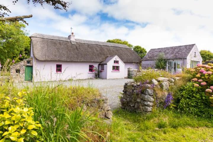 Kilmurrin CoveBeach / strand · 1289 yd
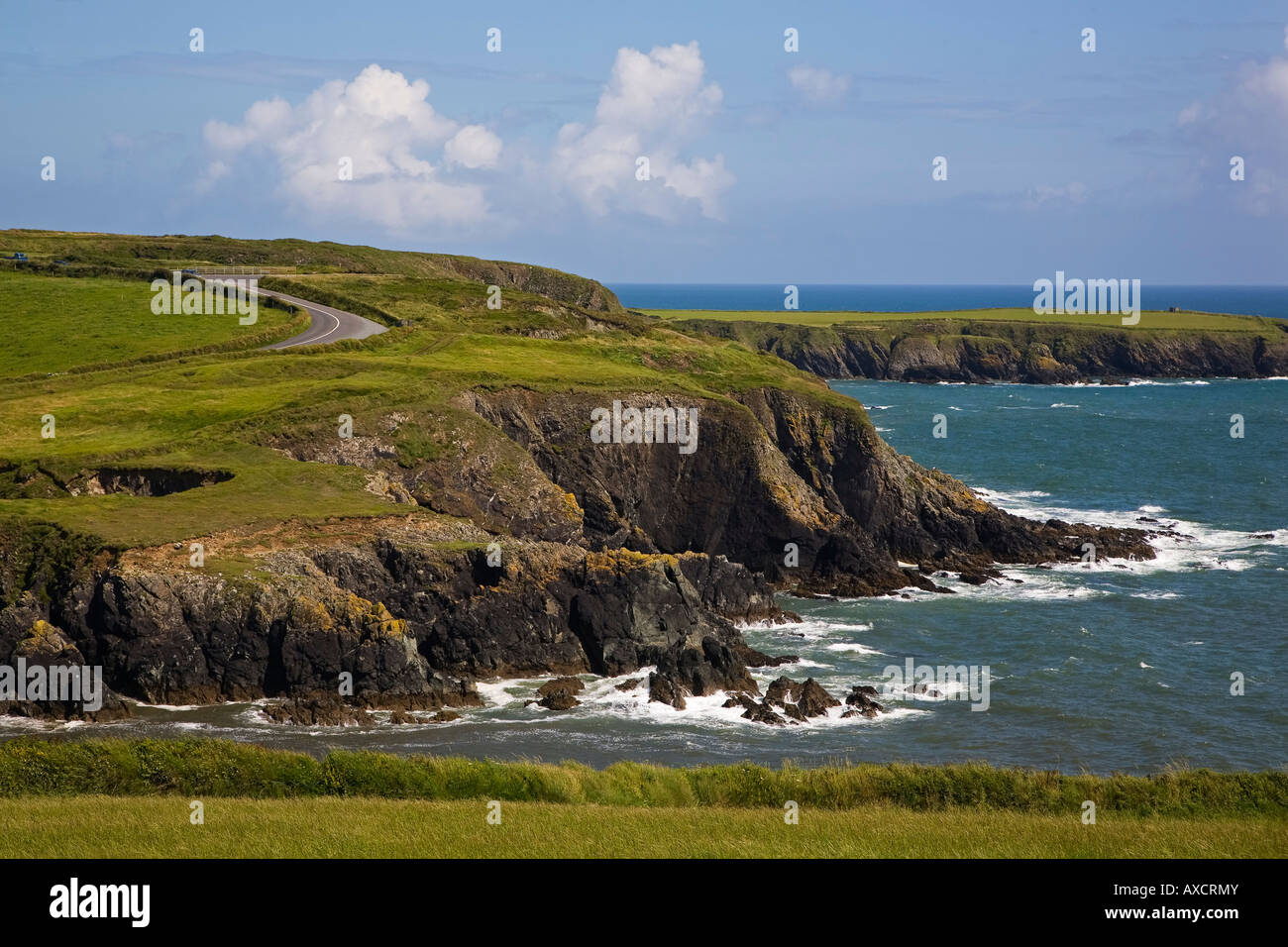 Enclosure in DunabrattinEnclosure · 1710 yd
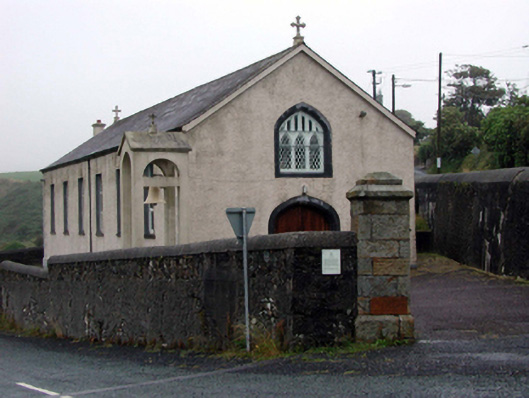 Saint Mary's Catholic ChurchOfficially recorded historic building · 1739 yd
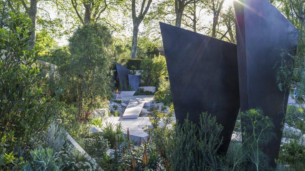 Geological GardenVisitor information · 1.2 mi
 Miners BucketVisitor information · 1.2 mi
 Copper CoastCoastal geological landscape · 1.3 mi
 Boatstrand BeachBeach / strand · 1.4 mi
 St. Bernard's WellSpring · 1.8 mi
 St. Martin's WellSpring · 2.6 mi