What is recorded here
No visible stone remains at the Tabagh coordinate, though the official record still claims a standing stone belongs there. The ground may have swallowed it, men may have broken it, or the original survey may have pointed to the wrong field. Uncertainty is not a flaw in this case; it is the shape of what survives.
The official Northern Ireland record identifies this as STANDING STONE. Recorded period: PREHISTORIC; UNCERTAIN. The official map point was placed at the centre of the recorded archaeological site from the source map reference.
The monument record does not grant public access. Check the route and ask the landowner before entering private land.
- What survives
- Recorded monument
Places near here
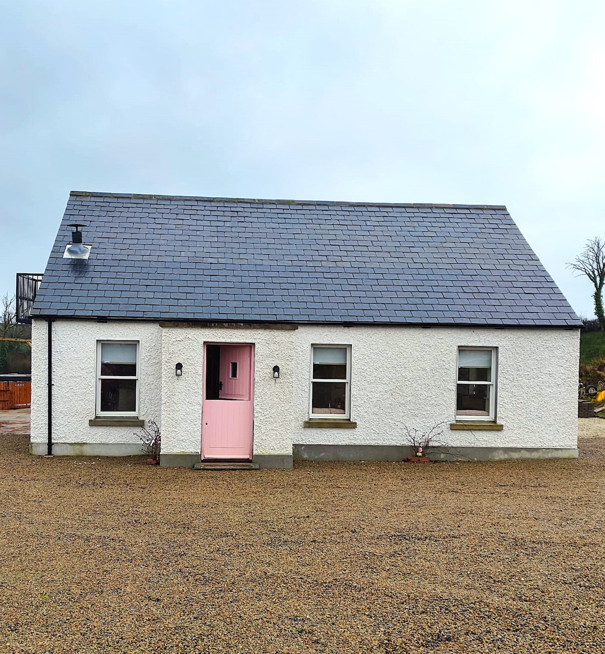 C17TH HOUSE & BAWN (unlocated) in CosbystownC17TH HOUSE & BAWN (unlocated) · 457 yd
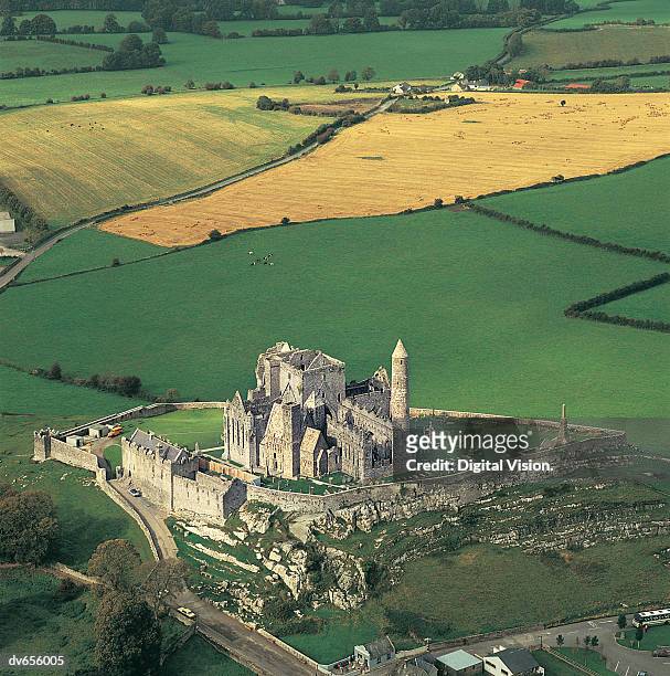 ENCLOSURE in CashelENCLOSURE · 920 yd
 FORTIFICATION? in Rosspoint OR Cosbystown EastFORTIFICATION? · 1.2 mi
 InnishmacsaintIsland · 1.4 mi
 Inishmacsaint Church and Cross in InishmacsaintInishmacsaint Church and Cross · 1.4 mi
 Innishmacsaint Abbey (ruins)Ruins · 1.4 mi
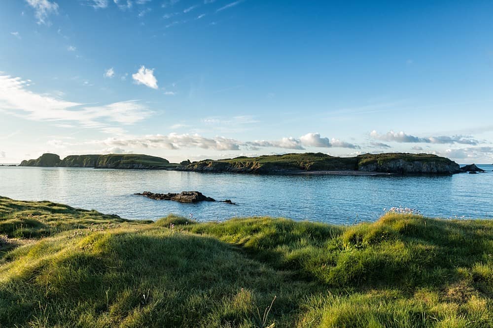 Rabbit IslandIsland · 1.5 mi
 Carrickreagh WoodWood · 2.1 mi
 Tullycarbry ForestForest · 2.3 mi
 Monea CastleHeritage attraction · 2.5 mi
 Tully CastleCastle · 2.5 mi
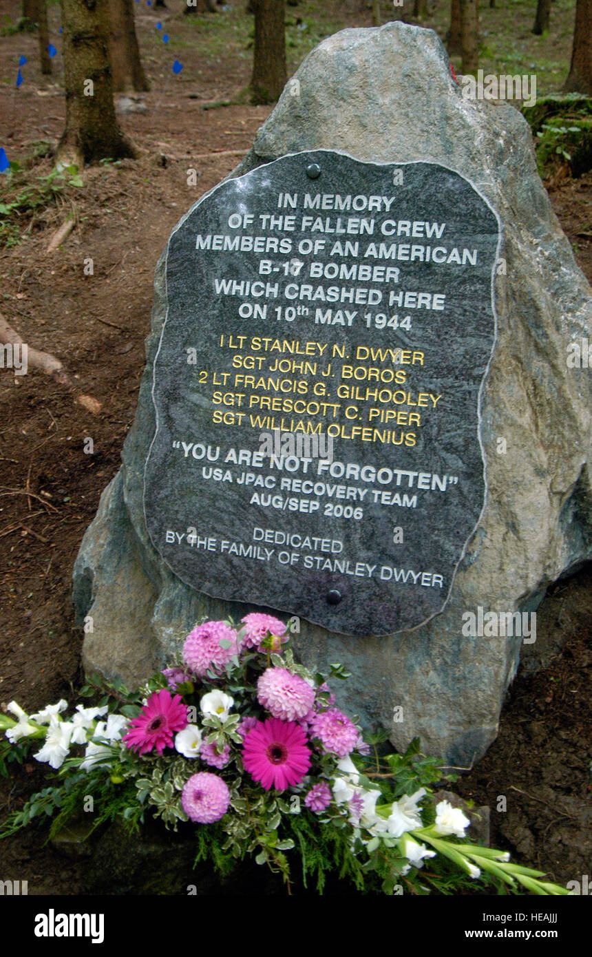 B17 Crash MemorialMonument · 5.7 mi