What is recorded here
Indicated is a hidden fairy fort in County Mayo, a circular earthen ring barely tall enough to clear an ankle but large enough to swallow a room. Grass and brambles have reclaimed most of the bank, yet the shallow ditch still marks the boundary where human pasture ends and fairy claim begins. People may have built it for storage or shelter, but the fairies certainly finished it, shaping the forgotten corners into a place where the living world stops listening.
In pasture, on W side of ridge. Circular area (37m N-S, 36m E-W), defined by earthen bank (H 1m), with external fosse (D 0.4m) N to SW. Heavily overgrown.
The above description has been derived from D. Lavelle (compiler), An Archaeological Survey of Ballinrobe and District including Lough Mask and Lough Carra. Lough Mask and Lough Carra Tourist Development Association (1994), No. 218.
Date of upload: 7 February 2013
The monument record does not grant public access. Check the route and ask the landowner before entering private land.
- What survives
- Recorded monument
Places near here
 IndicatedFairy fort / earthen ringfort · 938 yd
 Enclosure in BellanaloobEnclosure · 1514 yd
 Bawn in BellanaloobBawn · 1562 yd
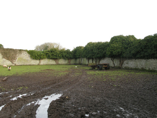 Newbrook Housewalled garden · 1565 yd
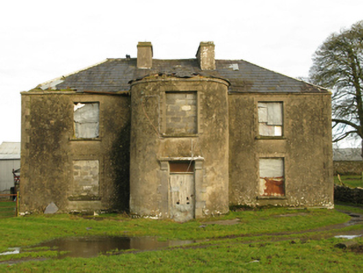 Beech Grovefarm house · 1.1 mi
 Castle (in Ruins)Castle, unclassified · 1.9 mi
 Creevagh IslandIslet · 3.4 mi
 Connors IslandIslet · 3.5 mi
 Moore Hall Forest TrailWalking route · 3.5 mi
 Moore Hall ForestForest · 3.7 mi
 Kiltoom PointHeadland · 3.8 mi
 Cerberus, from Thomastown HouseMemorial · 4.5 mi