What is recorded here
This record was not included in the SMR (1988) but was listed in the RMP (1996) as a 'Togher' and its location was given as 20713,26124 (Irish Grid reference). There is no SMR file for this record in the archive of the Archaeological Survey of Ireland (ASI). It is very likely that the information for this record was provided to the compilers of the RMP by the Irish Archaeological Wetland Unit (Irish Archaeological Wetland Unit (UCD)), UCD. As the Irish Archaeological Wetland Unit (UCD) subsequently transferred all of their data to ASI, in 2004, it would appear that this record was overlooked in the transfer and that a duplicate record exists for it among the Irish Archaeological Wetland Unit (UCD) records submitted for toghers in Derrynagran.
Compiled by: Paul Walsh
Date of upload: 26 August 2011
The monument record does not grant public access. Check the route and ask the landowner before entering private land.
- What survives
- Recorded monument
Places near here
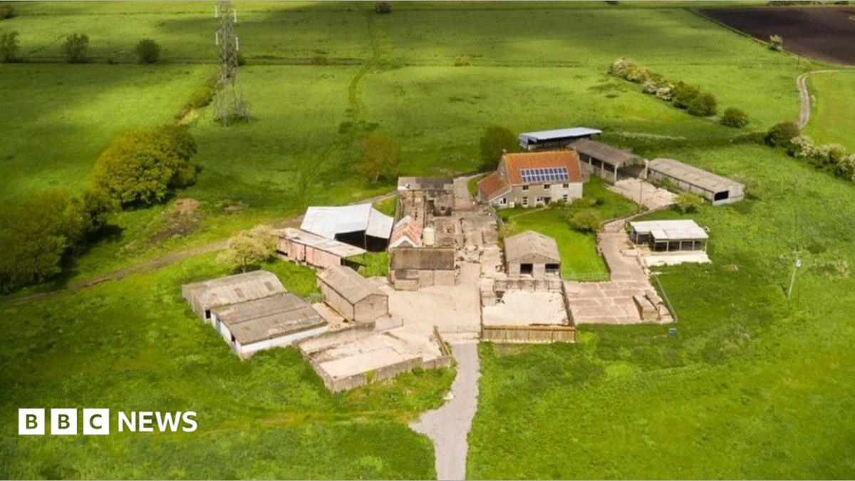 StructureStructure, peatland · 400 yd
 RoadRoad, class 1 togher · 439 yd
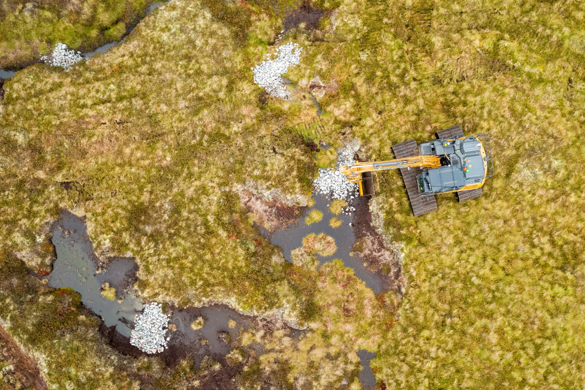 PlatformPlatform, peatland · 510 yd
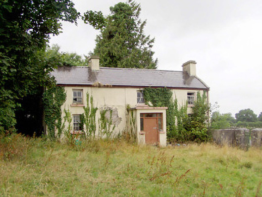 J. Hopkinshouse · 1.4 mi
 Caltragh CastleCastle, unclassified · 1.8 mi
 Corlea Bog Walk Blue LoopWalking route · 2.2 mi
 Corlea Trackway Interpretative CentreHeritage attraction · 2.3 mi
 Corlea Bog Walk Canal BranchWalking route · 2.6 mi
 Elfeet CastleCastle, Anglo-Norman masonry castle · 2.9 mi
 Culnagore WoodForest · 3.0 mi
 Bush IslandIslet · 3.2 mi
 Elfeet BayBay · 3.4 mi