What is recorded here
No visible marker breaks the green pasture, yet the land holds a hidden chamber beneath its surface. The absence of stone or soil disturbance suggests human hands shaped the darkness long before modern eyes could imagine it. What was built there, who entered it, and why the entrance disappeared remain unanswered. The quiet field keeps that much larger than it appears.
Situated in a low-lying level landscape. According to local information, an underground passage or Man-made underground passage exists in the area of rath (MO031-119001-). Aerial photographs (CUCAP: AVG 62; AVG 63) from the 1970s show the cropmark of a large pit inside the perimeter of the rath at W, which may be a macula, i.e. the site of an uprooted tree, as there are other similar features in the same field. No archaeological feature is visible at ground level in pasture.
Date of revised upload: 31 July 2017
The monument record does not grant public access. Check the route and ask the landowner before entering private land.
- What survives
- Recorded monument
Places near here
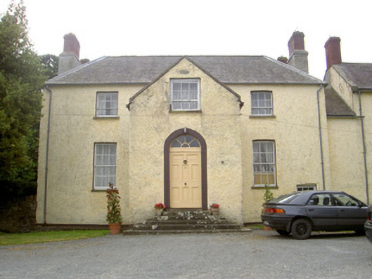 The Gleberectory/glebe/vicarage/curate's house · 433 yd
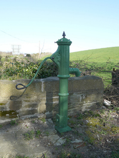 water pumpwater pump · 875 yd
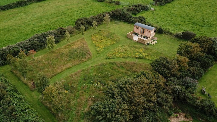 Hut site in DuneltyHut site · 1580 yd
 Man-made underground passage in DuneltyMan-made underground passage · 1656 yd
 CastleCastle, motte and bailey · 1.2 mi
 Flat cemetery in AnnaheanFlat cemetery · 3.2 mi
 Mannan Castle (in ruins)Castle, Anglo-Norman masonry castle · 3.7 mi
 Horse-chestnutHorse-chestnut · 3.9 mi
 European BeechEuropean Beech · 3.9 mi
:no_upscale()/cdn.vox-cdn.com/uploads/chorus_asset/file/25593391/County_Louth_6th.jpg) LouthMountain / peak · 4.6 mi
LouthMountain / peak · 4.6 mi TobernagalliaghSpring · 5.1 mi
 BarleyhillMountain / peak · 6.4 mi