What is recorded here
In pasture at the NE end of a low ridge. A heavily overgrown, raised, roughly circular area (surface diam. c. 36m) is defined by a scarp (H 2.4m at NE-3.8m at NW); a fosse (Wth 2m at base) which is only traceable along the NE and SE and by a substantial outer enclosing bank of earth and stone (Wth 7-10m; int. H 0.2m; ext. H 0.7-1.5m) which survives from NE to ENE and from SE to SSE.
Date of visit: 12-5-2025
Compiled by: Gearóid Conroy
The monument record does not grant public access. Check the route and ask the landowner before entering private land.
- What survives
- Recorded monument
Places near here
 IndicatedFairy fort / earthen ringfort · 759 yd
 Wall monument in StradeWall monument · 911 yd
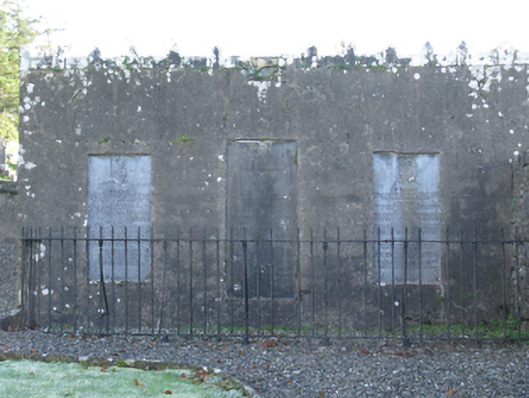 mausoleummausoleum · 924 yd
 Michael DavittMemorial · 1006 yd
 LismoreFairy fort / earthen ringfort · 1667 yd
 Ballylahan Castle in RuinsCastle, Anglo-Norman masonry castle · 1.4 mi
 Castle in ruinsCastle, tower house · 1.7 mi
 Oak WoodWood · 3.9 mi
 National Museum of Ireland, Country LifeMuseum · 4.2 mi
 Sunken GardenWood · 4.3 mi
 Admiral William BrownMemorial · 4.6 mi
 Foxford Woollen MillsHeritage attraction · 4.6 mi