What is recorded here
Colhoun (1949, 117) recorded a 'multiple-chambered cairn', and Killanin and Duignan (1962; 1967) a 'chamber tomb', at Meendoran. The feature is a group of three standing stones (Lacy 1983). Three standing stones, two of which form a N-S alignment while the third is 4.35m to the ENE. The S stone is 1m high × 0.65m wide; N-S. The E stone is 1.4m high × 0.7m wide; N-S. Situated on the N slopes of Meendoran Hill, on pasture land broken by rock outcrop to N.
The above description was published in the 'Survey of the Megalithic Tombs of Ireland. Volume VI, County Donegal.' Compiled by: Eamon Cody (Dublin: Stationery Office, 2002).
Date of upload: 22 September 2008
Probably dating to the Neolithic or early Bronze Age, the Meendoran standing stones may have been part of a funerary or ritual site, associated with the chamber tomb recorded nearby. Such stone arrangements often held symbolic or ceremonial significance in prehistoric communities.
The monument record does not grant public access. Check the route and ask the landowner before entering private land.
- What survives
- Recorded monument
Places near here
 Glendowen craft shopHeritage attraction · 953 yd
 Roosky Enclosure near ClonmanyEnclosure · 1.5 mi
 Roosky Stone Ringfort near ClonmanyFairy fort / stone ringfort · 1.6 mi
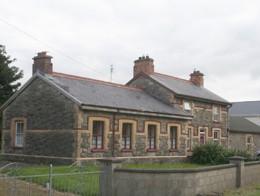 railway stationrailway station · 1.7 mi
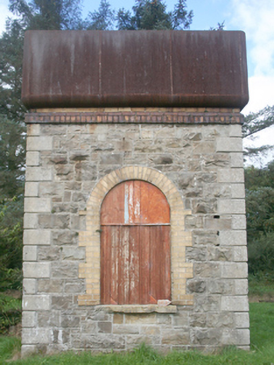 water towerwater tower · 1.7 mi
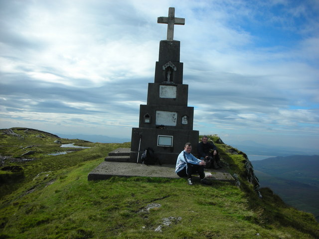 BulbinMountain / peak · 2.3 mi
 Clonmany Early Church GraveyardGraveyard · 2.5 mi
 Glenevin WaterfallWaterfall · 2.8 mi
 Glenevin Waterfall, Clonmanywaterfall · 2.8 mi
 Glenevin Waterfall WalkOfficial walking route · 2.8 mi
 Wee Slieve SnaghtMountain / peak · 3.1 mi
 Gap of MarmoreHeritage attraction · 4.4 mi