What is recorded here
In Lurgan, County Armagh, a single standing stone waited in the dark before human memory began. It is not certain whether the stone still stands or whether it was buried, broken, or forgotten, but the unknown shape of its loss is the story. A place that cannot be located becomes a question the land keeps asking.
The official Northern Ireland record identifies this as STANDING STONE (unlocated). Recorded period: UNCERTAIN; PREHISTORIC. The official map point was placed at the centre of the recorded archaeological site from the source map reference.
Likely dating to the Neolithic or Bronze Age, this standing stone may have served a ceremonial, astronomical, or territorial function. Its specific meaning or use remains unrecorded, though such stones are often associated with ritual activity or early religious practices.
The monument record does not grant public access. Check the route and ask the landowner before entering private land.
- What survives
- Recorded monument
Places near here
 Lurgan CollegeSchool · 672 yd
 Lurgan War MemorialMemorial · 931 yd
 Brownlow HouseMuseum · 1199 yd
 ENCLOSURE in DerrylisnahavilENCLOSURE · 1.7 mi
 ENCLOSURE in ClankilvoraghENCLOSURE · 1.7 mi
 Ellis GutBay · 2.5 mi
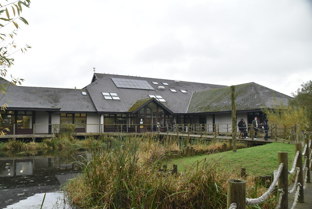 Lough Neagh Discovery CentreHeritage attraction · 2.5 mi
 Waringstown Red WoodsForest · 2.9 mi
 Portadown Railway StationMemorial · 4.6 mi
 CASTLE (site of): MOIRA CASTLE in RiskCASTLE (site of): MOIRA CASTLE · 4.9 mi
 MEDIEVAL & POST-MED. CHURCH & GRAVEYARD: DRUMGOSE in DrumcreeMEDIEVAL & POST-MED. CHURCH & GRAVEYARD: DRUMGOSE · 4.9 mi
 PortadownVisitor information · 5.0 mi