What is recorded here
Duneany still holds an unlocated standing stone, perhaps buried, broken or never written down. The absence does not erase the stone; it refuses to hand itself over unchanged. A person may have set it in dirt, watched it tilt under storm water or forgotten the exact spot after years of passing. That is why the gap exists. The place is not empty, but incomplete, waiting for a witness who remembers the difference between losing a stone and discovering one.
The official Northern Ireland record identifies this as STANDING STONE (unlocated). Recorded period: PREHISTORIC; UNCERTAIN. The official map point was placed at the centre of the recorded archaeological site from the source map reference.
The monument record does not grant public access. Check the route and ask the landowner before entering private land.
- What survives
- Recorded monument
Places near here
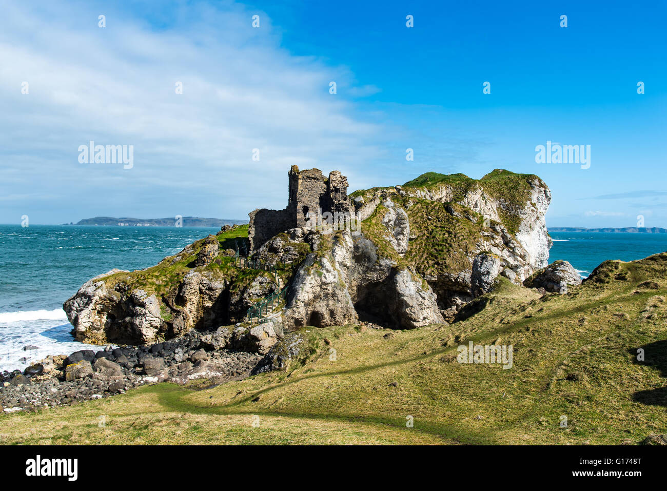 ENCLOSURE in KillycreenENCLOSURE · 1.4 mi
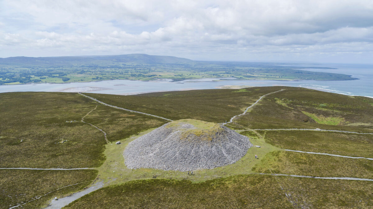 ENCLOSURE in KillycowanENCLOSURE · 1.8 mi
 Dunminning CottageHouse · 2.7 mi
 Long MountainMountain / peak · 2.7 mi
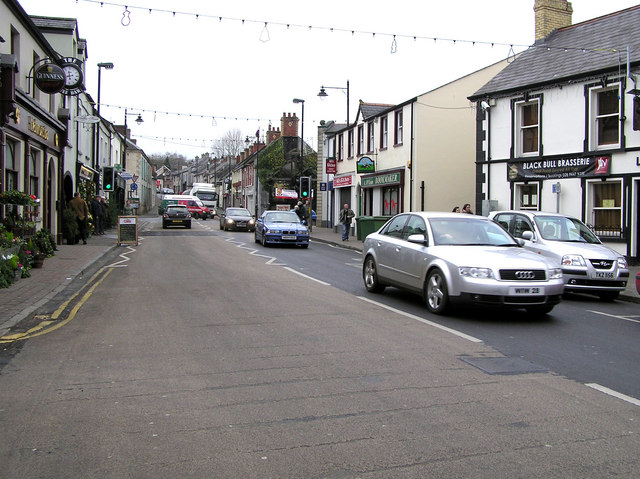 CHURCH: DONNELLY'S CELL (c.f. Ant 032:001) in CraigsCHURCH: DONNELLY'S CELL (c.f. Ant 032:001) · 3.7 mi
 Moneygran WoodWood · 4.7 mi
 Clough CastleArchaeological place · 4.7 mi
 CASTLE & HILLTOP ENCLOSURE: DOONBOUGHT FORT in DoonboughtCASTLE & HILLTOP ENCLOSURE: DOONBOUGHT FORT · 5.5 mi
 Ballylough Big HillMountain / peak · 5.8 mi
 CHURCH & GRAVEYARD: KILREA OLD CHURCH or KILREA O'DIAMOND in KilreaCHURCH & GRAVEYARD: KILREA OLD CHURCH or KILREA O'DIAMOND · 5.8 mi
 Big Gortgole ForestForest · 5.9 mi
 FORD across R. BANN & SITE OF BATTLE, 1689 (see also ANT 031:052 for opposite side of the river) in GlenoneFORD across R. BANN & SITE OF BATTLE, 1689 (see also ANT 031:052 for opposite side of the river) · 6.8 mi