What is recorded here
Towards the N end of avenue to a house and farmyard, on the W side, c. 15m from the SW angle of the house. The original location of the standing stone (KK013-061----) is c. 230m to the SW. The stone had been moved closer to the farmyard and before 1987 was moved again to facilitate the construction of a silage dump (OPW files). It had been leaning against a tree in the farmyard before being placed upright in its present location. A tapering limestone standing stone, rectangular in plan (L 0.5-0.55m tapering to c. 0.1m; Wth 0.33-0.4m). The total length of the stone is 2.7m, 0.34m is buried and the stone currently stands 2.36m above ground. One of the long faces is very smooth. The shorter faces have numerous geological fault lines.
Compiled by: Jean Farrelly
Date of revised upload: 20 July 2015
Probably dating to the Neolithic or Bronze Age, this standing stone may have originally formed part of a ritual or funerary landscape. Its relocation suggests historical awareness of its significance, though specific folklore or use remains unrecorded.
The monument record does not grant public access. Check the route and ask the landowner before entering private land.
- What survives
- Recorded monument
Places near here
 Church in ruinsChurch · 382 yd
 CastleCastle, ringwork · 509 yd
 Enclosure in Ballyroe (maher)Enclosure · 1021 yd
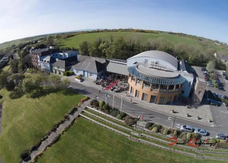 Ballyroe (Maher) RingfortArchaeological place · 1329 yd
 Not indciatedCastle, unclassified · 1632 yd
 The CopseWood · 1.8 mi
 Brown's WoodWood · 1.8 mi
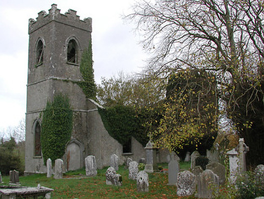 Ballinamara Churchchurch/chapel · 1.8 mi
 Freshford LoopWalking route · 2.4 mi
 Emma Jane Browne-ClaytonMemorial · 2.9 mi
 Clomantagh HillMountain / peak · 4.7 mi
 DelaneyMemorial · 6.6 mi