What is recorded here
In rough fern-covered pasture, on the W bank of Clashduff River in a valley overlooking Bantry Bay to the S. Two stone slabs, aligned NE-SW, measure 2.35m in overall length. The NE stone (0.65m x 0.37m; H 1.6m) is 0.9m from the SW stone (0.8m x 0.4m) which leans to the NW and, if erect, would measure c. 1.05m.
The above description is derived from 'The Archaeological Inventory of County Cork. Volume 5' (Dublin: Stationery Office, 2009).
Date of upload: 22 December 2009
Likely dating to the Late Neolithic or Bronze Age, the pair of standing stones may have functioned as a ritual or ceremonial alignment, possibly marking a territorial boundary or serving as an astronomical marker. No specific folklore is recorded for this site, though such paired stones are often associated with ancient funerary or ceremonial practices in the region.
The monument record does not grant public access. Check the route and ask the landowner before entering private land.
- What survives
- Recorded monument
Places near here
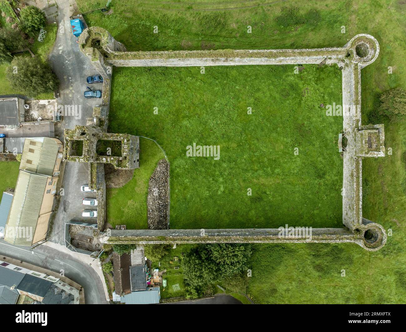 Enclosure in Clashduff (bear By.)Enclosure · 1015 yd
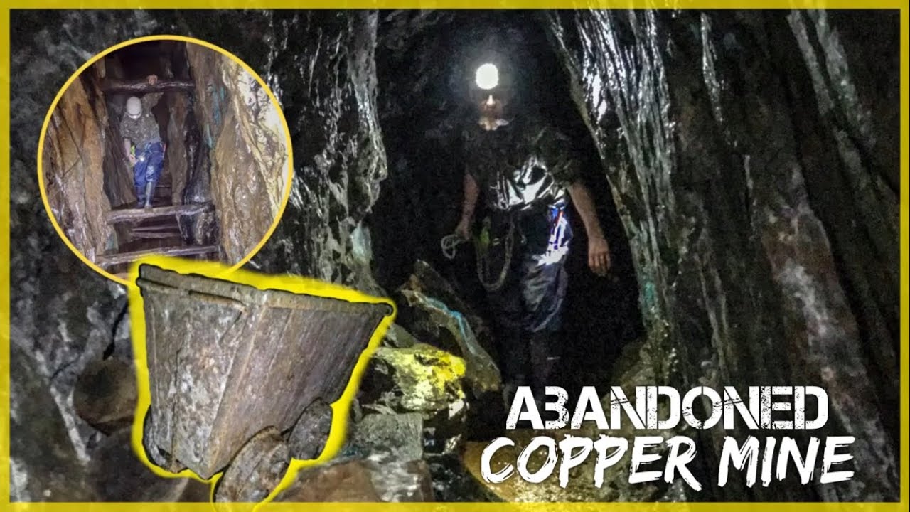 MineMine, copper · 1072 yd
 Kilcaskan Church (in Ruins)Church · 1103 yd
 Hut site in CanshanavoeHut site · 1395 yd
 Knockeirky South TopMountain / peak · 1683 yd
 Adrigole MountainMountain / peak · 1.3 mi
 Hungry Hill GalleryGallery · 2.2 mi
 West Cork Sailing & Powerboating CentreHeritage attraction · 2.3 mi
 Orthon's IslandIslet · 2.4 mi
 Graveyard in DrumlaveGraveyard · 2.5 mi
 IllaunateeIslet · 2.8 mi
 Mare's Tail WaterfallViewpoint · 2.9 mi