What is recorded here
Two stones stand knee-deep in boggy mountain terrain, aligned northeast to southwest and separated by less than a metre. They emerge from a low cairn like broken teeth through gumflesh, the southern one taller and narrower, the northern one shorter and broader. Whoever placed them worked in darkness or desperation, marking a line no longer visible but still remembered by the shape of the earth around them.
Two standing stones aligned NE-SW, set 0.75m apart, and partially surrounded by a stone cairn (DG012-018003-). The S stone stands 1.3m high above the top of the cairn and is .82m wide; the N stone stands .8m high above the top of the cairn and has a maximum width of 1.11m. The cairn is 3m long × 2.7m wide × 0.7m high. Situated on open boggy mountain terrain.
The above description was derived from the 'Archaeological Survey of County Donegal. A description of the field antiquities of the County from the Mesolithic Period to the 17th century.' Compiled by: Brian Lacey with Eamon Cody, Claire Cotter, Judy Cuppage, Noel Dunne, Vincent Hurley, Celie O'Rahilly, Paul Walsh and Seán Ó Nualláin (Lifford: Donegal County Council, 1983). In certain instances the entries have been revised and updated.
Date of upload: 22 September 2008
Likely dating to the Neolithic or Bronze Age, this pair of standing stones may have functioned as a ritual or astronomical marker, possibly linked to solar alignments given their NE-SW orientation. Such stone pairs are sometimes associated with burial or ceremonial practices in early Irish landscapes.
The monument record does not grant public access. Check the route and ask the landowner before entering private land.
- What survives
- Recorded monument
Places near here
 outbuildingoutbuilding · 652 yd
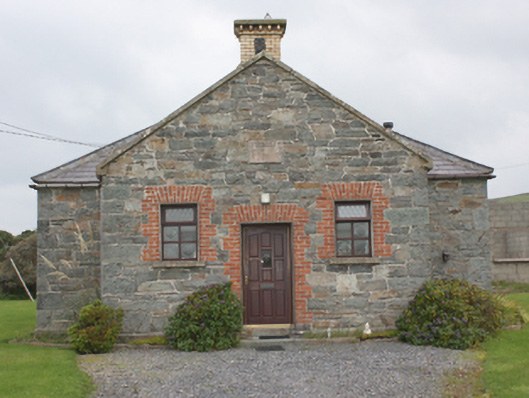 Carrowbeg National Schoolschool · 1222 yd
 Tremone BayBeach / strand · 1676 yd
 The Spanish Armada 1588Memorial · 1.4 mi
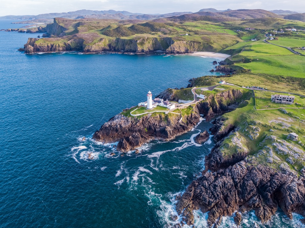 Glennagiveny Bay Cliff-Edge Fairy FortFairy fort / earthen ringfort · 2.2 mi
 Sweathouse in Carrowblagh OR LeckemySweathouse · 2.3 mi
 CrockaulinMountain / peak · 3.4 mi
 CuldaffOfficial bathing water · 4.4 mi
 CastleCastle, unclassified · 4.9 mi
 Inishowen Maritime Museum and PlanetariumMuseum · 5.1 mi
 Cliffs, Inishowen HeadPublicly named cliff or headland · 5.1 mi
 GreencastleCastle · 5.1 mi