What is recorded here
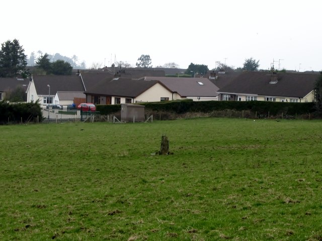
Kilbroney holds a second standing stone, marked no.2 only because someone counted twice. That much is clear. The first may have fallen, moved or been forgotten, leaving the second to carry the identity of a pair. Stone does not mind numbering. It stands where it stands, waits for people to remember or invent the difference, and lets the field keep its shape around the gap.
The official Northern Ireland record identifies this as STANDING STONE (NO.2). Recorded period: PREHISTORIC. Recorded protection: Scheduled. The official map point was placed at the centre of the recorded archaeological site from the source map reference.
Likely dating to the Neolithic or Bronze Age, this standing stone may have served a ceremonial, astronomical, or territorial function. No specific folklore or detailed local tradition is recorded for this site.
The monument record does not grant public access. Check the route and ask the landowner before entering private land.
- What survives
- Recorded monument
Places near here
 Kilbroney Standing StoneArchaeological place · 274 yd
 CROSSES (2); MULTIPERIOD CHURCH; GRAVEYARDS; HOLY WELL: KILBRONEY or ST.BRIDGET'S WELL in KilbroneyCROSSES (2); MULTIPERIOD CHURCH; GRAVEYARDS; HOLY WELL: KILBRONEY or ST.BRIDGET'S WELL · 453 yd
.jpg?width=1280) Kilbroney HouseHouse · 754 yd
Kilbroney HouseHouse · 754 yd The Fairy GlenWalking route · 759 yd
 Ballymoney WoodForest · 1176 yd
 CHURCH in RosstrevorCHURCH · 1274 yd
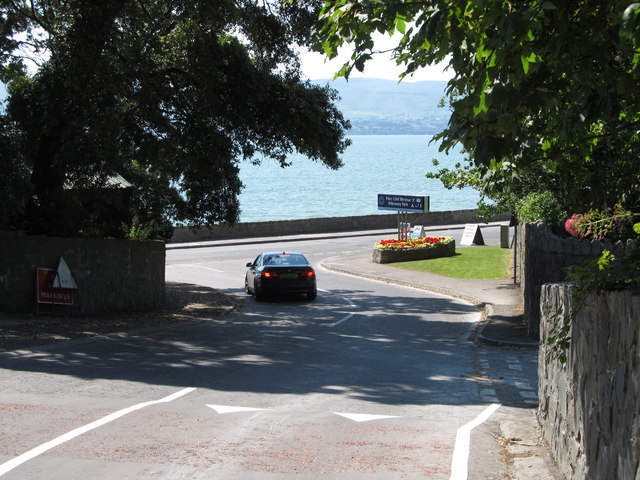 Kilbroney ParkVisitor information · 1600 yd
 Ross MonumentMonument · 1.1 mi
 FORTIFICATION: TREVORS CASTLE (unlocated) in RosstrevorFORTIFICATION: TREVORS CASTLE (unlocated) · 1.2 mi
 Rostrevor ForestForest · 1.3 mi
 SlievemartinMountain / peak · 1.3 mi
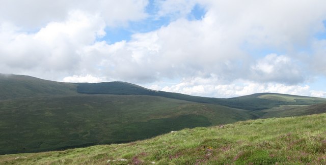 SlievemeelMountain / peak · 1.8 mi