What is recorded here
In the 1940s two 'galláns about 8 and 4 feet [2.43m and 1.21m] high respectively' were recorded in this townland (Schools Manuscript, Co. Kerry). These stones have not been precisely located and it is possible that they are in that part of Tooreennamult that is on OS 6-inch map 60.
Compiled by: Elizabeth Byrne, Ursula Egan and Sheila Ronan, Archaeological Survey Unit, University College, Cork.
Date of upload: 31 January 2011
The monument record does not grant public access. Check the route and ask the landowner before entering private land.
- What survives
- Recorded monument
Places near here
 Barna BogForest · 1.2 mi
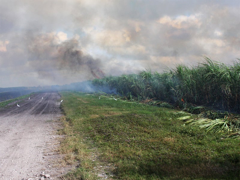 Burnt spread in CarhoonoeBurnt spread · 2.8 mi
 Coom Br.Bridge · 2.8 mi
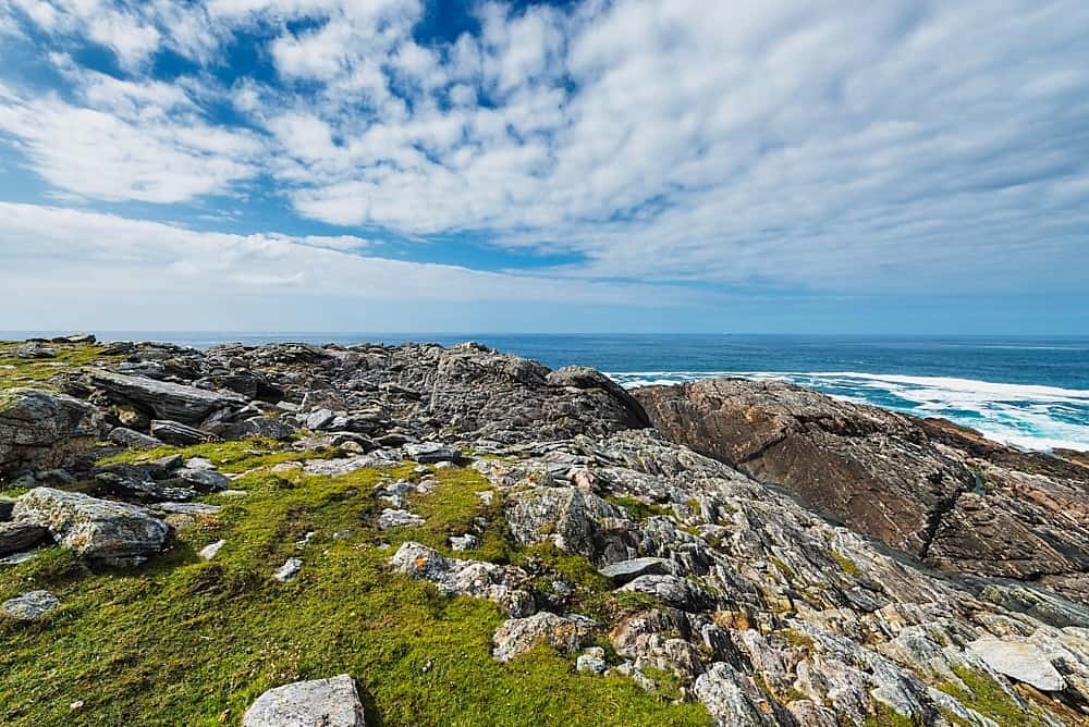 Annagh Br.Bridge · 2.8 mi
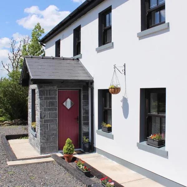 Enclosure in KnockeennahoneEnclosure · 3.0 mi
 Nohaval WoodWood · 4.8 mi
 Doctor's HillMountain / peak · 5.0 mi
 SlievebrickanMountain / peak · 5.2 mi
 Castle (in ruins)Castle, Anglo-Norman masonry castle · 9.5 mi
 Kerry 2nd Brigade of the Irish Republican ArmyMemorial · 10 mi
 Killarney First World War MemorialMemorial · 11 mi
 Jaunting ToursHeritage attraction · 11 mi