What is recorded here
On the NE edge of a small natural flat-topped hillock on a gentle N-facing slope, in pasture in the Glen of Aherlow. A tributary of the River Aherlow flows roughly N-S 30m to the W. There are good views in all directions with a range of hills, including Slievenamuck, visible to the N, while the view ESE-S-W is dominated by the Galtees. This standing stone (0.53m x 0.42m; H 1.1m), composed of red sandstone conglomerate with quartz inclusions protruding, is rectangular in plan and orientated NE-SW. The NE and NW sides bulge out as the stone rises while the other faces are quite flat. The stone appears to be leaning towards the N.
Compiled by: Jean Farrelly
Date of upload: 29 July 2013
The monument record does not grant public access. Check the route and ask the landowner before entering private land.
- What survives
- Recorded monument
Places near here
 Dromomarka Bridgebridge · 690 yd
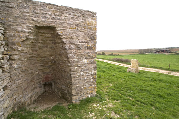 KilnKiln, lime · 878 yd
 Enclosure in Pollagh (templeneiry Par.)Enclosure · 1176 yd
 CrossCross, High cross · 1.3 mi
 KnockastakeenMountain / peak · 1.7 mi
 Glengarra WoodWood · 2.2 mi
 FarbreagaMountain / peak · 2.6 mi
 The RockViewpoint · 2.7 mi
 Christ the KingViewpoint · 2.7 mi
 Cordangan Castle ruinsCastle · 2.8 mi
 Glen of AherlowViewpoint · 2.8 mi
 Site of Seefin CastleCastle, unclassified · 2.9 mi