What is recorded here
On the summit of a low hill overlooking the mouth of Abhainn an tSraithín. Thin slab of schist, rectangular in plan (H 1.63m) (GA023-028----). No visible trace survives of the faint 'rectangular enclosure [GA023-028001-], about 12ft. [3.65m] square' noted by Redington 'on the S side of this monument' (1914, 239-40). (Killanin 1954, 98)
The above description is derived from the published 'Archaeological Inventory of County Galway Vol. I - West Galway'. Compiled by Paul Gosling (Dublin: Stationery Office, 1993).
Date of upload: 05 August 2010
Probably dates to the Bronze Age, given its form and context. Likely had a ritual or territorial function, possibly associated with a now-erased burial or ceremonial enclosure.
This remains an important historical record, but the official description says the monument is no longer visible or has been destroyed. The monument record does not grant public access. Check the route and ask the landowner before entering private land.
- What survives
- No visible remains or recorded as destroyed
Places near here
 Enclosure in RoscreaEnclosure · 17 yd
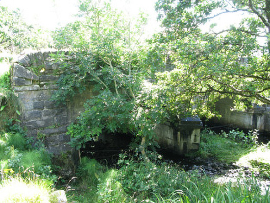 Traheen Bridgebridge · 404 yd
 Quarry in AttirowertyQuarry · 572 yd
 Enclosure in RosleagueEnclosure · 936 yd
 RoeillaunIslet · 1.4 mi
 Connemara National Park Visitor CentreHeritage attraction · 1.6 mi
 Connemara National ParkNational park · 1.6 mi
 DerrylahanMountain / peak · 1.8 mi
 Tully MountainMountain / peak · 2.8 mi
 Cabbage treeCabbage tree · 3.3 mi
 GlassillaunIslet · 3.4 mi
 Monterey PineMonterey Pine · 3.9 mi