What is recorded here
The following description is derived from both the published 'Archaeological Inventory of County Louth' (Dublin: Stationery Office, 1986) and the 'Archaeological Survey of County Louth' (Dublin: Stationery Office, 1991). In certain instances the entries have been revised and updated in the light of recent research.
Date of upload/revision: 17 July 2007
Situated on summit of outcrop rise in undulating countryside. Slate slab (max. dims. H 1.5m, 0.4m by 0.2m in section) with narrow sides orientated NE-SW (see also LH011-104----). (CLAJ 1962, 166)
The monument record does not grant public access. Check the route and ask the landowner before entering private land.
- What survives
- Recorded monument
Places near here
 IndicatedEnclosure · 320 yd
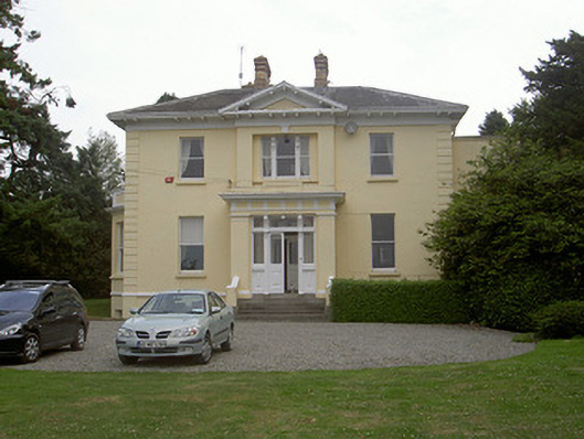 Rathbrist Housecountry house · 365 yd
 schoolschool · 808 yd
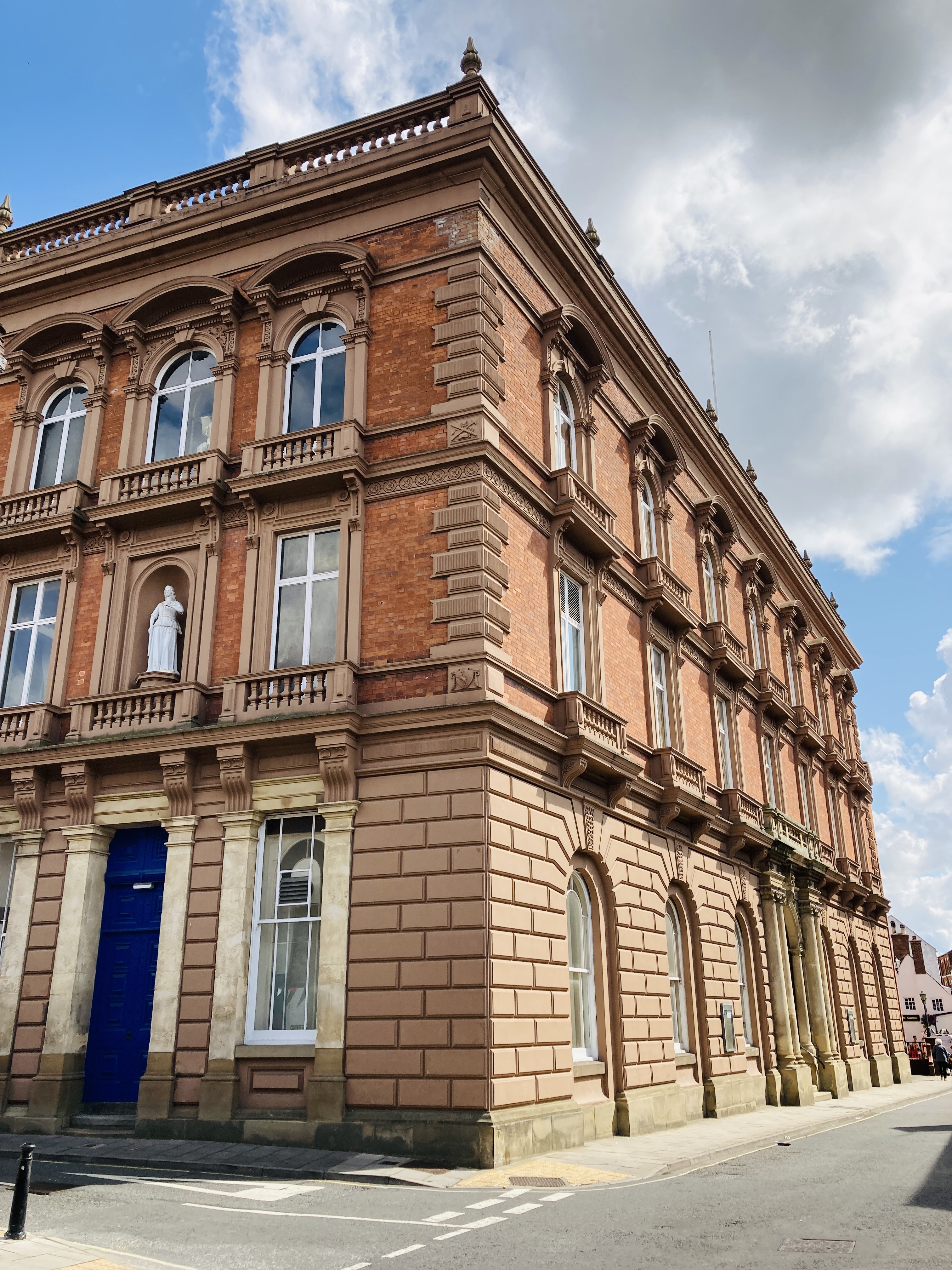 MoatCastle, motte and bailey · 822 yd
 Enclosure in RathbristEnclosure · 893 yd
 RathneestinCastle, tower house · 1628 yd
 Long PlantationForest · 1.3 mi
:no_upscale()/cdn.vox-cdn.com/uploads/chorus_asset/file/25593391/County_Louth_6th.jpg) LouthMountain / peak · 1.6 mi
LouthMountain / peak · 1.6 mi SycamoreSycamore · 1.7 mi
 Sir Frederick Foster MemorialMemorial · 4.5 mi
 Graveyard in StickillinGraveyard · 5.0 mi
 BallybarrackMountain / peak · 6.1 mi