What is recorded here
Standedge holds one stone on good land, though no map or archive still names the place. That absence removes none of its life. A stone can witness before people learn to write, and Standedge may have waited out every empire that forgot it. What is missing is not the wonder but the claim that it must be known.
There is no trace of the 'Standing Stone' marked on the 1st edition of the OS 6-inch map. Situated on good land on the E slope of a ridge.
The above description was derived from the 'Archaeological Survey of County Donegal. A description of the field antiquities of the County from the Mesolithic Period to the 17th century.' Compiled by: Brian Lacey with Eamon Cody, Claire Cotter, Judy Cuppage, Noel Dunne, Vincent Hurley, Celie O'Rahilly, Paul Walsh and Seán Ó Nualláin (Lifford: Donegal County Council, 1983). In certain instances the entries have been revised and updated.
Date of upload: 22 September 2008
This remains an important historical record, but the official description says the monument is no longer visible or has been destroyed. The monument record does not grant public access. Check the route and ask the landowner before entering private land.
- What survives
- No visible remains or recorded as destroyed
Places near here
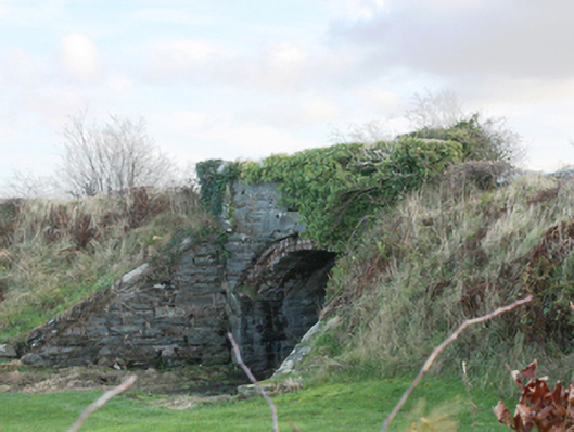 bridgebridge · 384 yd
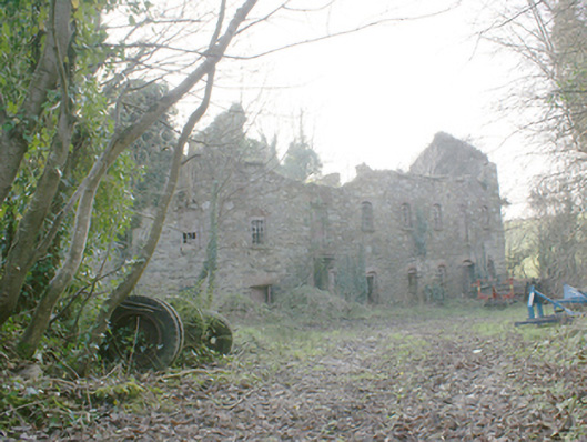 Pluck Millsmill (water) · 808 yd
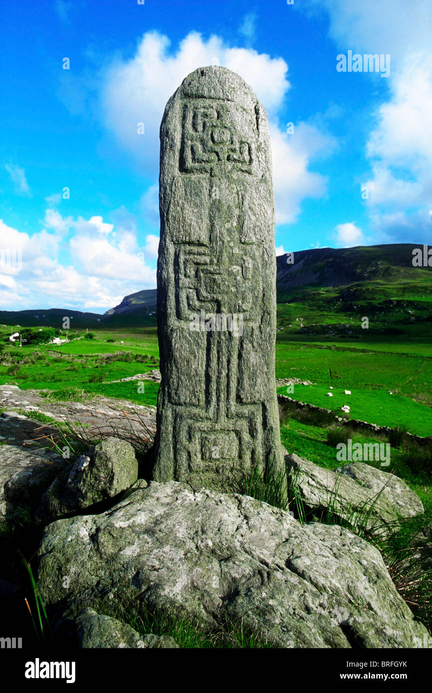 Pluck Standing StoneArchaeological place · 1286 yd
 Site of Church & Burial GroundChurch · 1379 yd
 CastleCastle, unclassified · 1.5 mi
 Dry Arch MonumentHeritage attraction · 1.6 mi
 Lurgybrack Open FarmHeritage attraction · 2.0 mi
 European YewEuropean Yew · 3.2 mi
 RowanRowan · 3.2 mi
 Bawn in LetterkennyBawn · 3.4 mi
 Mongorry HillMountain / peak · 3.6 mi
 Battle of Scarrifholisbattle · 5.8 mi