What is recorded here
In the immediate neighbourhood of Kilmakilloge graveyard (KE108-002----) but not precisely located. In 1913 a 'gallaun or stone pillar, at which the peasantry used to give 'rounds'' was described as being in the 'same immediate neighbourhood' as a saint's stone (KE108-002001-) (Anon. 1913, 102). There are no visible remains of this standing stone.
The above description is derived from the published 'Archaeological Inventory of County Kerry. Volume I: South-West Kerry' (Dublin: Stationery Office, 2009). In certain instances the entries have been revised and updated in the light of recent research.
Date of upload: 30 May 2011
Likely dating to the Bronze Age, this standing stone may have had ritual or territorial significance, possibly linked to early burial practices given its proximity to a graveyard. Local tradition of 'gallaun' suggests it may have been a site of folkloric or communal gatherings.
This remains an important historical record, but the official description says the monument is no longer visible or has been destroyed. The monument record does not grant public access. Check the route and ask the landowner before entering private land.
- What survives
- No visible remains or recorded as destroyed
Places near here
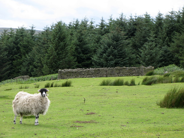 SheepfoldHut site · 324 yd
 Mass-rock in DerryrushMass-rock · 377 yd
 KnockateeMountain / peak · 1420 yd
 Habitat of DerreeniesNature reserve · 1.1 mi
 Soft Tree-fernSoft Tree-fern · 1.1 mi
 Derreen Househouse · 1.2 mi
 IndicatedHouse, vernacular house · 1.4 mi
 DrombohillyMountain / peak · 1.8 mi
 Rossmore IslandIsland · 2.9 mi
 Bird IslandIslet · 3.1 mi
 DroppaCliff · 4.5 mi
 Ardgroom Pulleen LoopWalking route · 4.7 mi