What is recorded here
Not marked on the OS maps, this standing stone is situated on gently sloping pasture on Valencia Island and affords good views to S, over the Portmagee Channel. It is roughly trapezoidal in plan at base, with its longer axis lying E-W. It tapers in width from .65m at base to .5m at top. It stands 1.44m high, and inclines slightly to N. A number of packing stones protrude from around its base.
The above description is derived from A. O'Sullivan and J. Sheehan (compilers), 'The Iveragh peninsula: an archaeological survey of South Kerry'. Cork University Press (1996), no. 151. In certain instances the entries have been revised and updated in the light of recent research.
Date of upload: 28 July 2013
This standing stone likely dates to the Late Neolithic or Early Bronze Age, based on its form and context. Its alignment and location may have had ceremonial or territorial significance, though specific folklore or use remains unrecorded.
The monument record does not grant public access. Check the route and ask the landowner before entering private land.
- What survives
- Recorded monument
Places near here
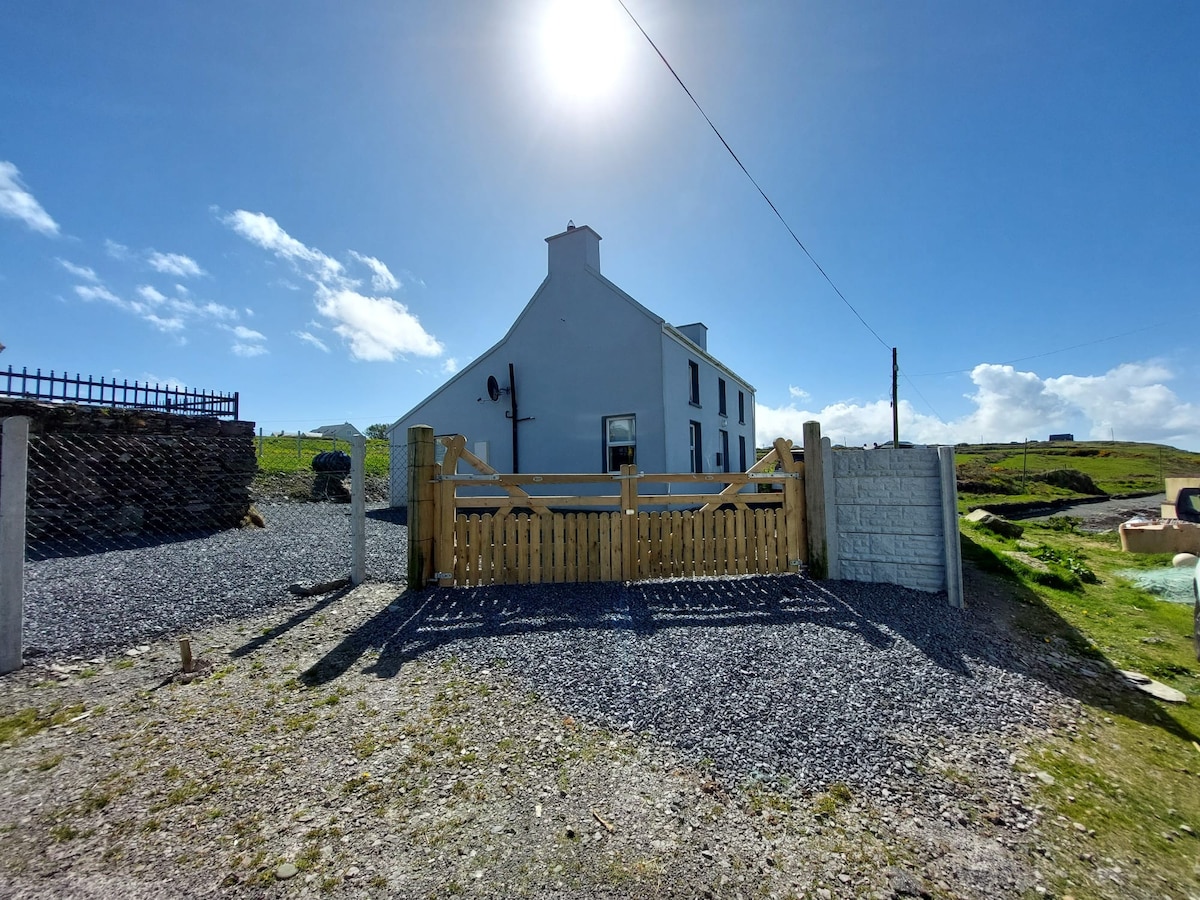 Enclosure in Coarha MoreEnclosure · 342 yd
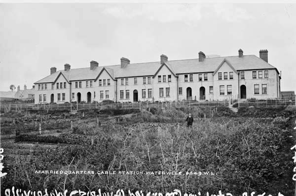 Anglo American Cable House, Telegraph FieldMonument · 1026 yd
 Skellig Experience CentreMuseum · 1108 yd
 Telegraph Field Valentia IslandMemorial · 1117 yd
 Church in Illaunloughan,portmageeChurch · 1264 yd
 Cromwell's FortRuins · 1274 yd
 ValentiaIsland · 1.1 mi
 Horse IslandIslet · 1.4 mi
 Culloo RockViewpoint · 1.4 mi
 Bray HeadMountain / peak · 1.9 mi
 Fogher CliffCliff · 2.1 mi
 GeokaunMountain / peak · 2.2 mi