What is recorded here
In tillage. Stone (H 1.25m; 1.22m x 0.3m) is subrectangular in plan, long axis NNW-SSE.
The above description is derived from the published 'Archaeological Inventory of County Cork. Volume 3: Mid Cork' (Dublin: Stationery Office, 1997). In certain instances the entries have been revised and updated in the light of recent research.
Date of upload/revision: 14 January 2009
The monument record does not grant public access. Check the route and ask the landowner before entering private land.
- What survives
- Recorded monument
Places near here
 Mass-rock in GortdonaghmoreMass-rock · 1030 yd
 Castle (in Ruins)Castle, tower house · 1234 yd
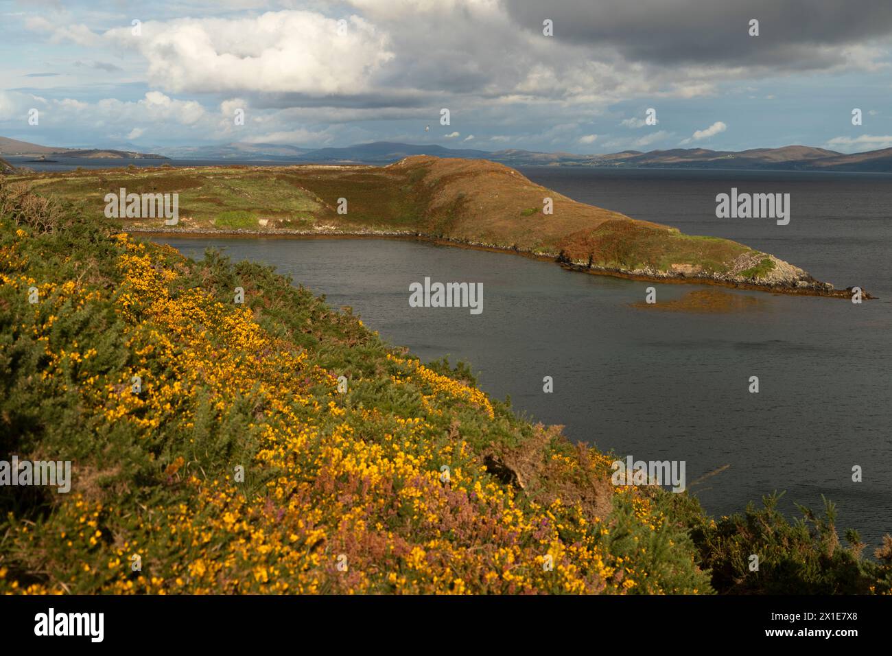 IndicatedBurial ground · 1239 yd
 Loughane Cottagehouse · 1328 yd
 Church in Killowen (muskerry East By.)Church · 1656 yd
 Lion RockNamed rock · 2.0 mi
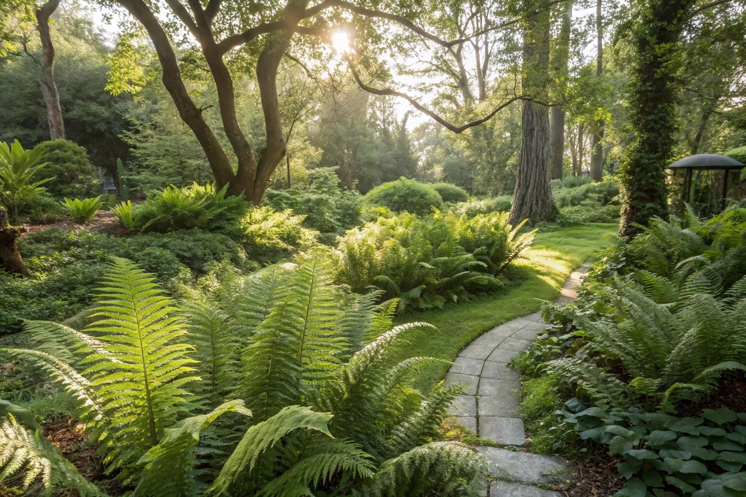 Fern GardenHeritage attraction · 2.1 mi
 Western RedcedarWestern Redcedar · 2.3 mi
 Ballyanly Inniscarra Slí na SláinteWalking route · 2.3 mi
 Turner's Rock WoodWood · 2.3 mi
 Badgers CaveCave · 2.3 mi
 Blarney Castle (in Ruins)Castle, tower house · 2.3 mi