What is recorded here
In rough hill pasture, on a SW-facing slope, overlooking St. Finnian's Bay. This standing stone (0.67m x 0.25m; H 1.2m) is roughly rectangular in plan and is orientated ENE-WSW. It leans slightly to the S.
The above description is derived from the published 'Archaeological Inventory of County Kerry. Volume I: South-West Kerry' (Dublin: Stationery Office, 2009). In certain instances the entries have been revised and updated in the light of recent research.
Date of upload: 30 May 2011
The monument record does not grant public access. Check the route and ask the landowner before entering private land.
- What survives
- Recorded monument
Places near here
 Chaytor's StablesRuins · 258 yd
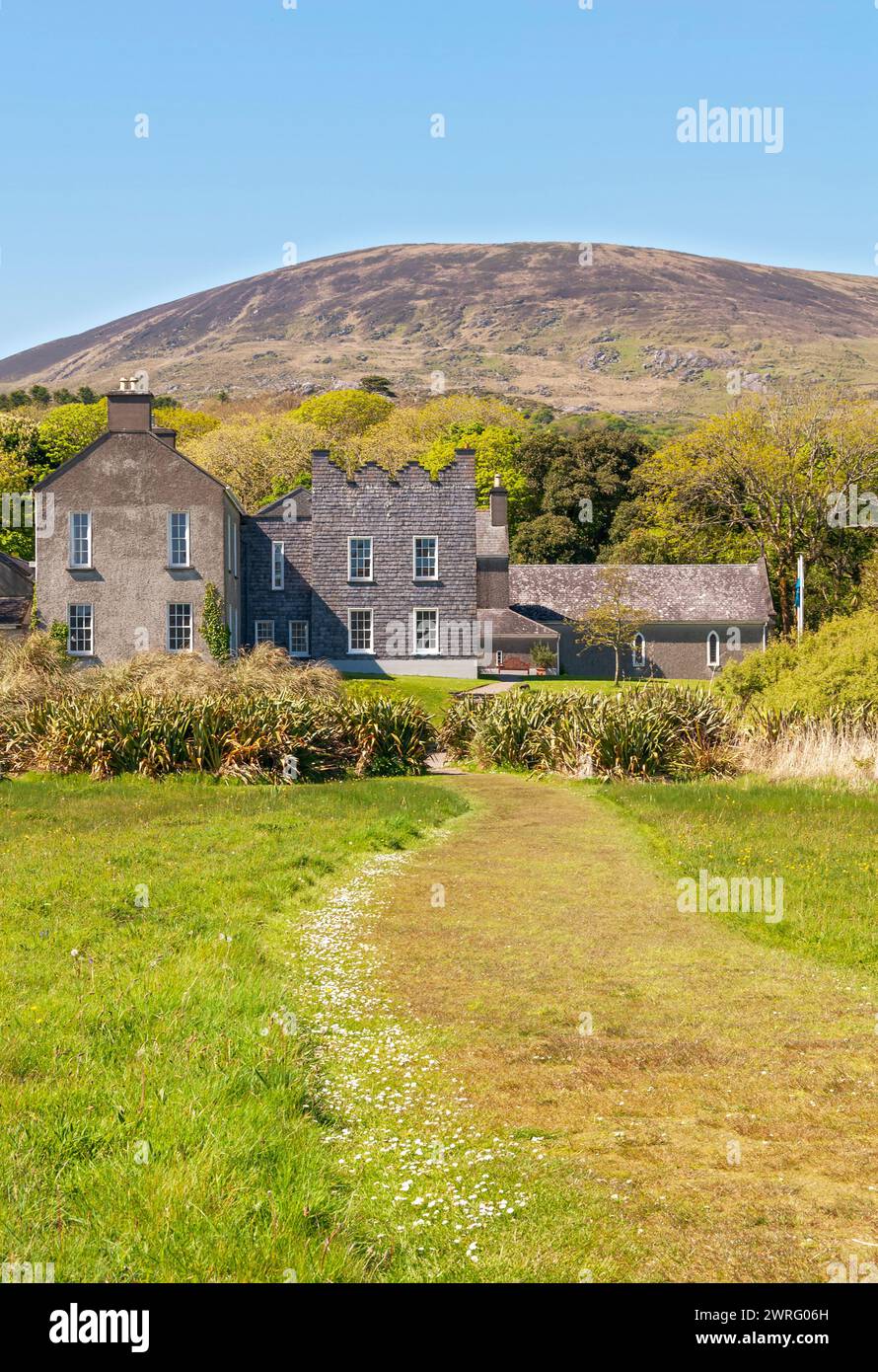 IndicatedEcclesiastical enclosure · 508 yd
 Óin /Man-made underground passageArchaeological place · 519 yd
 KillurlyMountain / peak · 860 yd
 Tráigh LeagaighBeach / strand · 996 yd
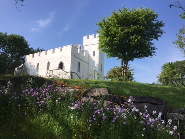 CarraigínCliff · 1032 yd
 Bun a'tSrutha/Base of the StreamCliff · 1034 yd
 Tráigh na CilleBeach / strand · 1.1 mi
 Cuas a' PhúcaCave · 1.1 mi
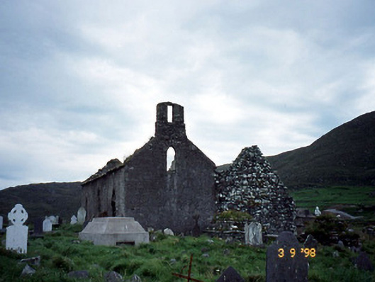 Séipéal na Cille [Killemlagh Catholic Chapel]church/chapel · 1.1 mi
 Bogha SínMountain / peak · 1.4 mi
 Liberator "63939" monumentMemorial · 1.4 mi