
What is recorded here
Óin /Man-made underground passage is recorded as a archaeological place in County Kerry. Its open map record supplies this location and any linked names or public references.
Places near here
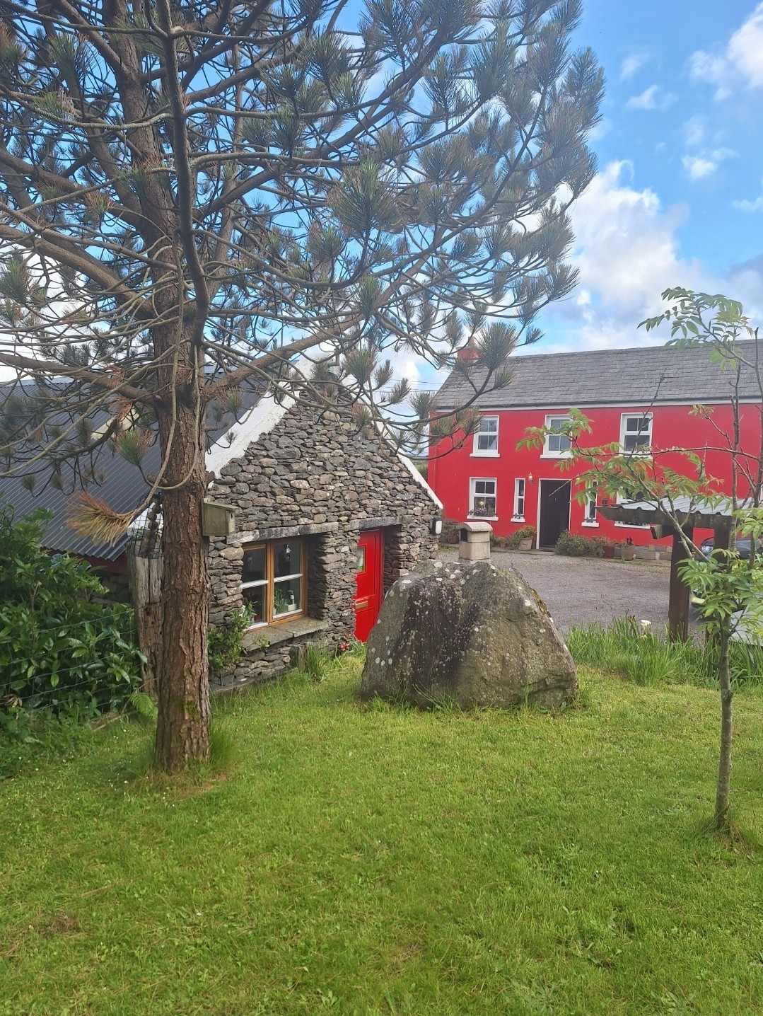 Hut site in An Com (bar. Uíbh Ráthach)Hut site · 16 yd
 Chaytor's StablesRuins · 387 yd
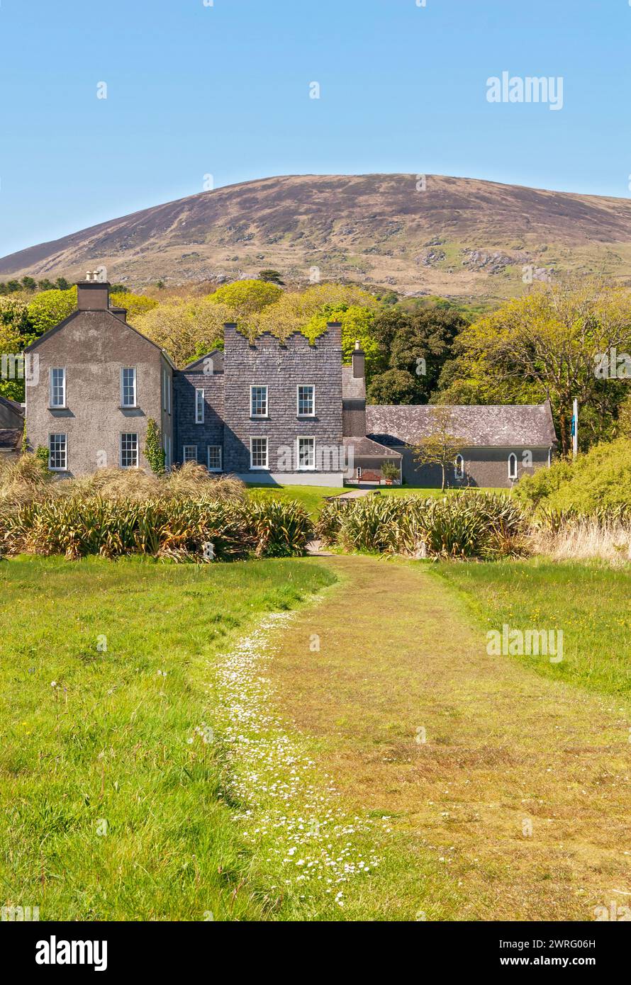 IndicatedEcclesiastical enclosure · 589 yd
 KillurlyMountain / peak · 881 yd
 Bun a'tSrutha/Base of the StreamCliff · 1255 yd
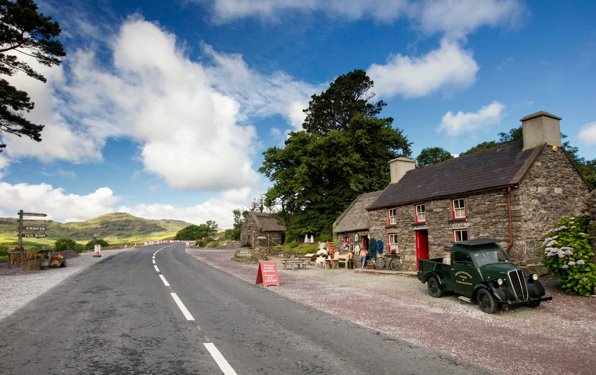 Cuas MaghognaíBay · 1375 yd
 Tráigh LeagaighBeach / strand · 1513 yd
 Reglaish Church (in Ruins)Church · 1.2 mi
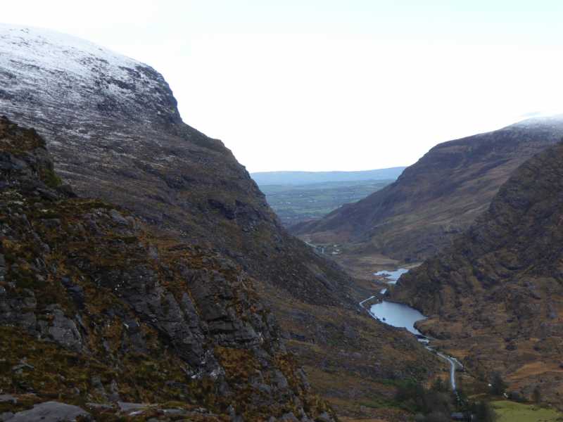 Cnoc Ceannúch (Canuig Mountain)Mountain / peak · 1.2 mi
 Liberator "63939" monumentMemorial · 1.3 mi
 Tráigh na CilleBeach / strand · 1.4 mi
 Cuas a' PhúcaCave · 1.4 mi
Other information
Photo: Credit not shown in the picture search · Rights wording not checked; contact us if this picture should be removed