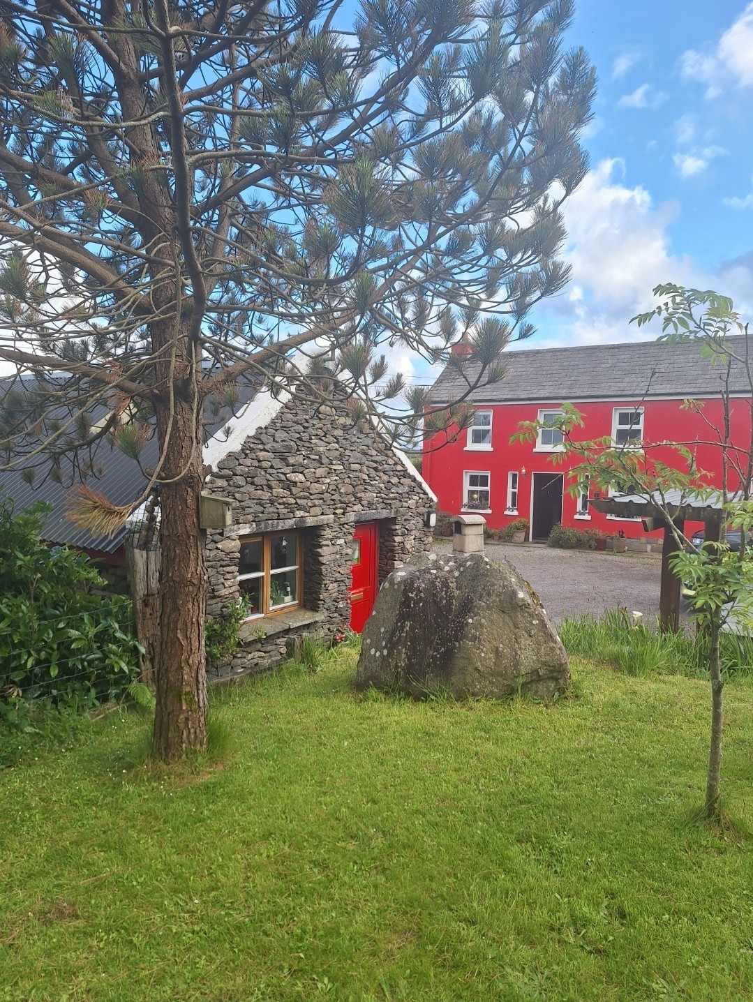
What is recorded here
On a slight terrace with extensive views W, overlooking St Finan's Bay, and E, overlooking Ballinskelligs Bay. A pair of poorly preserved and overgrown conjoined huts of roughly square plan. Some upright slabs form the base of the inner wall-face of the N hut (KE097-015----). D: 2.3m. H: .9m. An L-shaped drystone-built Man-made underground passage (KE097-015001-) opens off its W side. The lintelled opening is .3m high and .55m wide. The passage extends W for 1.6m then turns through a low creepway to S, where collapse impedes further progress. The S hut is poorly defined, its interior infilled with boulders. D: 3.7m x 3m. This may be the site Lynch noted as 'Gortnacaha' (1902b, 321).
The above description is derived from A. O'Sullivan and J. Sheehan (compilers), 'The Iveragh peninsula: an archaeological survey of South Kerry'. Cork University Press (1996), no. 1209. In certain instances the entries have been revised and updated in the light of recent research.
Date of upload: 31 July 2013
The monument record does not grant public access. Check the route and ask the landowner before entering private land.
- What survives
- Recorded monument
Places near here
 Óin /Man-made underground passageArchaeological place · 16 yd
 Chaytor's StablesRuins · 400 yd
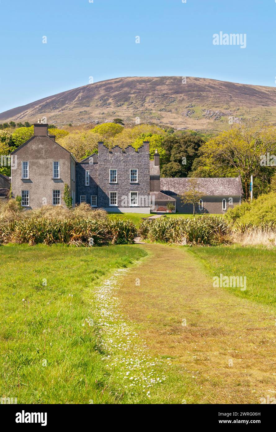 IndicatedEcclesiastical enclosure · 597 yd
 KillurlyMountain / peak · 888 yd
 Bun a'tSrutha/Base of the StreamCliff · 1263 yd
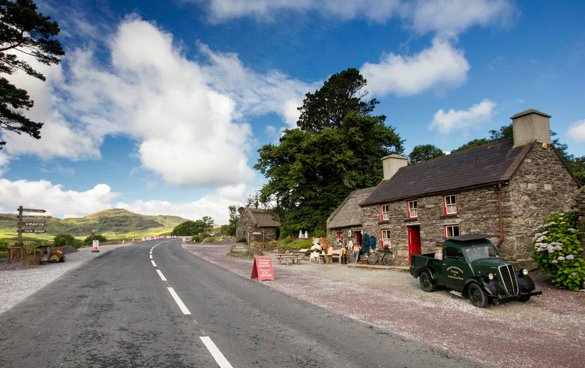 Cuas MaghognaíBay · 1371 yd
 Tráigh LeagaighBeach / strand · 1529 yd
 Reglaish Church (in Ruins)Church · 1.2 mi
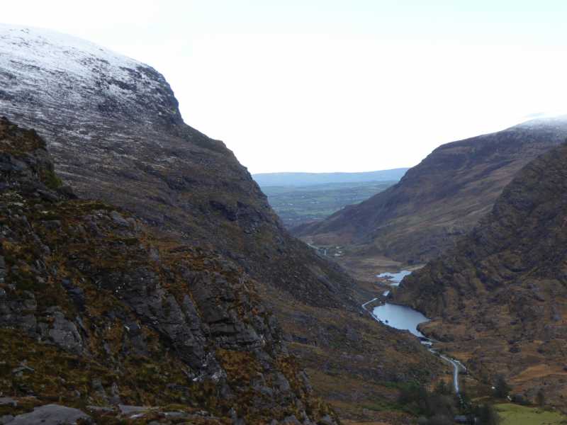 Cnoc Ceannúch (Canuig Mountain)Mountain / peak · 1.2 mi
 Liberator "63939" monumentMemorial · 1.3 mi
 Tráigh na CilleBeach / strand · 1.4 mi
 Cuas a' PhúcaCave · 1.4 mi
Other information
Photo: Credit not shown in the picture search · Rights wording not checked; contact us if this picture should be removed