What is recorded here
'This small standing stone is marked as “Gallaun” on the O.S. 6” sheet. It is located at the western extent of Carrigeendaniel housing estate and is enclosed on its eastern and southern sides by houses. The stone looks to have been broken in recent times and ground around the stone has been levelled and landscaped. The stone is 1.02m high, 0.70m wide and 0.25m thick.'
Description from ‘The Prehistoric Settlement of the Lee Valley, Tralee, Co. Kerry; A Landscape Perspective’ by Michael Connolly. PhD Thesis UCC 2008
Date of upload: 22 June 2012
Likely dating to the Bronze Age, this standing stone may have served as a boundary marker or had ceremonial significance. Local folklore sometimes associates such stones with protective or territorial functions, though specific traditions for this site are not recorded.
The monument record does not grant public access. Check the route and ask the landowner before entering private land.
- What survives
- Recorded monument
Places near here
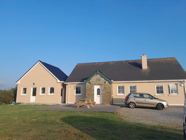 Hut site in CarrigeendanielHut site · 139 yd
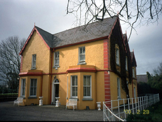 Mount Hawk Househouse · 344 yd
 Enclosure in MounthawkEnclosure · 728 yd
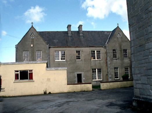 Saint John's Convent of Mercylaundry · 763 yd
 Castle MacallistrumCastle, unclassified · 1078 yd
 John Hurley GalleryGallery · 1633 yd
 CastleCastle, unclassified · 1641 yd
 The PikemanMemorial · 1646 yd
 The DicemanMemorial · 1646 yd
 Kerry County MuseumMuseum · 1.0 mi
 Tralee Bay Wetlands Eco and Activity ParkNature reserve · 1.1 mi
 Tobar na MoltSpring · 3.2 mi