What is recorded here
Seven feet of stone stood in J. O'Callaghan's land at Banteer, tall enough to touch the sky but fragile enough for humans to break. They removed it around 1927, erasing a marker that had watched the North Cork landscape for generations. The exact spot has vanished, leaving behind a hollow where the stone once pointed toward the heavens.
Bowman (1934, 182) recorded standing stone in J. O'Callaghan's. This was broken and removed c. 1927. It was c. 7 feet high'. Exact location not known.
The above description is derived from the published 'Archaeological Inventory of County Cork. Volume 4: North Cork' (Dublin: Stationery Office, 2000). In certain instances the entries have been revised and updated in the light of recent research.
Date of upload/revision: 14 January 2009
The monument record does not grant public access. Check the route and ask the landowner before entering private land.
- What survives
- Recorded monument
Places near here
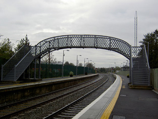 Banteer Railway Stationfoot bridge · 426 yd
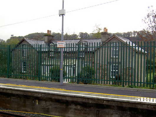 worker's houseworker's house · 434 yd
 IndicatedCrannog · 880 yd
 Man-made underground passage in BanteerMan-made underground passage · 1228 yd
 Clonmeen Court (Site of)House, fortified house · 1.5 mi
 St Fursey's WellSpring · 1.6 mi
 CastleCastle, unclassified · 1.7 mi
 Mount Hillary - Father Murphy LoopWalking route · 2.1 mi
 Mount Hillary - Mount Hillary LoopWalking route · 2.3 mi
 Kanturk CastleHeritage attraction · 2.5 mi
 Battle of Knocknaclashybattle · 2.6 mi
 Mount HillaryMountain / peak · 3.0 mi