What is recorded here
Mourne Park still holds the standing stone, but no human date or named event is clear. The chamber region may have watched herds, births, losses or arguments since before written memory. A person may have struck it during rage, touched it before marriage or buried a jar beside its base. The stone does not need a date to be real, because it still stands where human life kept changing around it.
The official Northern Ireland record identifies this as STANDING STONE. Recorded period: UNCERTAIN. The official map point was placed at the centre of the recorded archaeological site from the source map reference.
The monument record does not grant public access. Check the route and ask the landowner before entering private land.
- What survives
- Recorded monument
Places near here
 ENCLOSURE in BallymageoghENCLOSURE · 994 yd
 ENCLOSURE in AughrimENCLOSURE · 1147 yd
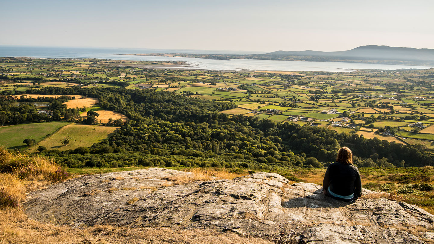 Mourne ParkWood · 1235 yd
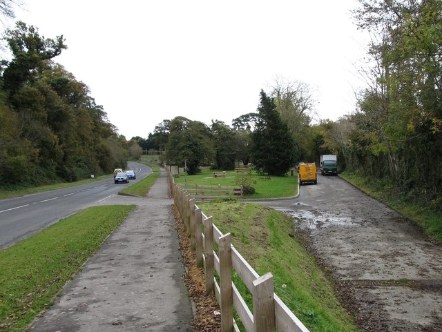 Whitewater Picnic Area & Disabled Fishing sitePicnic place · 1625 yd
 KnockchreeMountain / peak · 1703 yd
 Springfield VillaCountry House · 1.1 mi
 First Trust BankBank · 1.7 mi
 Robert Hill Hanna VC - First World War HeroVisitor information · 1.8 mi
 Hanna's Close WalkWalking route · 2.0 mi
 SlievebugMountain / peak · 2.8 mi
 GreencastleCastle · 3.2 mi
 CASTLE & WELL: GREENCASTLE in GreencastleCASTLE & WELL: GREENCASTLE · 3.2 mi