What is recorded here
The parish church of Maudlintown is situated on a low-lying landscape within a rectangular graveyard (dims. c. 50-55m E-W; c. 35m N-S) defined by masonry walls. It was attached to the Leper Hospital (WX037-041----) and was granted to the Knights Hospitaller of St John at Kilmainham, Co. Dublin in the 15th century. Portion of the W gable (L 7m; max. H 2.5m) with a break at the centre survives with part of the adjacent S wall. The lower end of a medieval graveslab (Wth 0.41-0.51m; T 0.13m; H 0.67m) with a raised fleur-de-lis terminal is used as a grave-marker at the N edge of the church. The site of St Mary Magdalene's Well (WX037-040----), at which patterns were celebrated on the 22nd of July until c. 1790 (O'Flanagan 1933, vol. 1, 376) is c. 150m to the NE. Archaeological testing (13E0258) by Mary Henry immediately S of the graveyard produced no related material (excavations.ie 2013:173).
The above description is derived from the published 'Archaeological Inventory of County Wexford' (Dublin: Stationery Office, 1996). In certain instances the entries have been revised and updated in the light of recent research.
Compiled by: Michael Moore
Date of upload: 14 December, 2012
Amended: 24 November 2020
The monument record does not grant public access. Check the route and ask the landowner before entering private land.
- What survives
- Recorded monument
Places near here
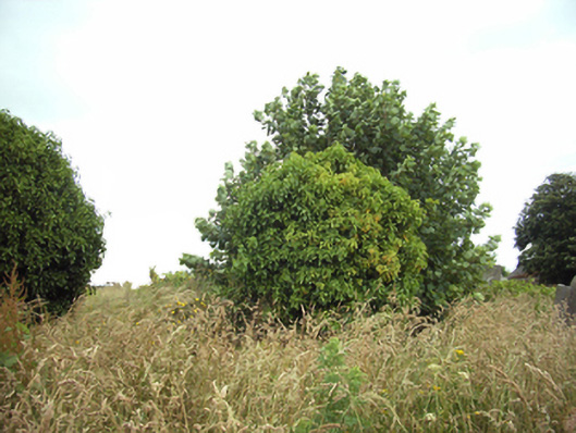 graveyard/cemeterygraveyard/cemetery · 7 yd
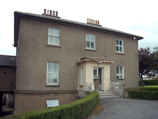 Saint Magdalene'shouse · 107 yd
 St. Mary Magdalenes WellHoly well · 172 yd
 Trinity Well (Site of)Holy well · 714 yd
 Lock Out GateMemorial · 753 yd
 Sack of Wexfordsiege · 958 yd
 Siege of Wexfordsiege · 961 yd
 Michael CollinsMemorial · 1375 yd
 Three Sisters River CruisesHeritage attraction · 1616 yd
 Site of CastleCastle, unclassified · 1.2 mi
 Castle (in ruinis)Castle, tower house · 2.3 mi
 Douglas-firDouglas-fir · 3.2 mi