What is recorded here
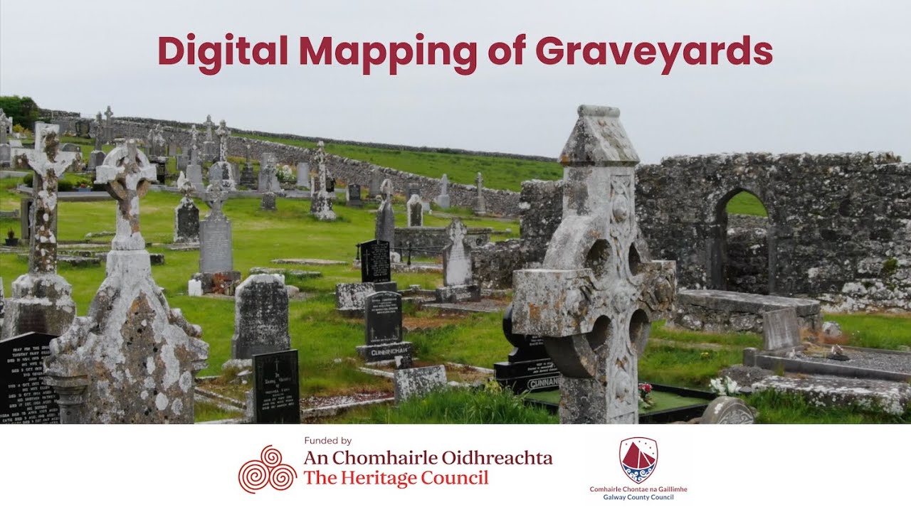
St. Columbkilles Burial Ground stands at the end of a roadway leading to the seashore, where rough pastureland meets outcropping bedrock. A cement wall encloses the site, hiding an 18th- or 19th-century grave surround beneath modern headstones. Nearby, a natural boulder called St Columcille's Boat rests on the shore, while two tidal holy wells wait further south. The place holds the quiet weight of centuries, marking death and devotion against the relentless Atlantic.
At the end of a roadway leading to the seashore, in an area of rough pastureland and outcropping bedrock.
Shown on the 1899 re-survey of the OS 6-inch map as a roughly rectangular graveyard (c. 50m NNE-SSW; c. 30m ENW-WSW); an extension (c. 34m NNE-SSW, c. 26m NW-SE), also roughly rectangular in shape, now opens off the S half of the W wall. The graveyard is enclosed with by a cement wall. All the visible headstones are modern. The small rectangular feature shown in the NW quadrant of the interior on the mapping proved to be a grave surround of 18th- or 19th-century date. The well shown in the NE quadrant was visible but there was no evidence to suggest that it was venerated. A church (GA091-001001-) is associated but no visible surface trace of it survives. A natural boulder known as Mullán Cholmcille or St Columcille's Boat (GA091-002----) lies on the shore to the SW, and two tidal holy wells (GA091-006----; GA091-007----) lie c. 161m to the SW and c. 255m to the S (pers. comm. T. Robinson). (Hardiman 1846, 63; O'Flanagan 1927, Vol. 3, 85; Killanin 1947, 130-31)
Compiled by: Olive Alcock
Date of upload: 13 April 2023
The monument record does not grant public access. Check the route and ask the landowner before entering private land.
- What survives
- Recorded monument
Places near here
 Church in An Bhánrainn Bhán TheasChurch · 1 yd
 Ritual siteRitual site, holy/saint's stone · 52 yd
 St. Columcilles WellHoly well · 204 yd
 IndicatedHouse, vernacular house · 672 yd
 Gob Thóin an ChnoicHeadland · 1.7 mi
 An Trá MhórBeach / strand · 1.8 mi
 Aill an ChlogáisHeadland · 2.3 mi
 Trá an Chaoráin BhigBeach / strand · 2.3 mi
 Cnoc Ros an MhílMountain / peak · 2.5 mi
 Cnoc an PhréacháinMountain / peak · 3.0 mi
 Oileán na bhFaochachaIslet · 3.0 mi
 Trá an DóilínBeach / strand · 4.3 mi