
What is recorded here
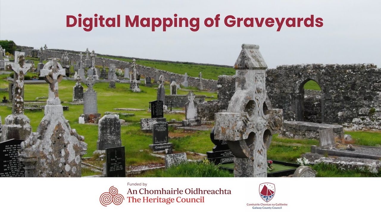
On the seashore at the mouth of a small stream and within a graveyard (GA091-001002-). Depicted and labelled 'Ch. Ru.' on Larkin's map of county Galway c. 1802 (pers. comm. M. Gibbons). Not shown on any editions of the OS 6-inch maps. It was reputedly one of the monastic foundations of St Columcille (Gwynn and Hadcock 1970, 376) and former site of a church (Killanin 1947, 130-31). No visible surface trace of the church survivies. A natural boulder known as Mullán Cholmcille or St Columcille's Boat (GA091-002----) lies on the shore to the SW, and two tidal holy wells (GA091-006----; GA091-007----) lie c. 161m to the SW and c. 255m to the S (pers. comm. T. Robinson). (Hardiman 1846, 63)
The above description is derived from the published 'Archaeological Inventory of County Galway Vol. I - West Galway'. Compiled by Paul Gosling (Dublin: Stationery Office, 1993).
Updated by: Olive Alcock
Date of revised upload: 12 April 2023
The monument record does not grant public access. Check the route and ask the landowner before entering private land.
- What survives
- Recorded monument
Places near here
 Ritual siteRitual site, holy/saint's stone · 52 yd
 St. Columcilles WellHoly well · 204 yd
 IndicatedHouse, vernacular house · 672 yd
 Tíg Peadair Mhóirhouse · 1.1 mi
 Gob Thóin an ChnoicHeadland · 1.7 mi
 An Trá MhórBeach / strand · 1.8 mi
 Aill an ChlogáisHeadland · 2.3 mi
 Trá an Chaoráin BhigBeach / strand · 2.3 mi
 Cnoc Ros an MhílMountain / peak · 2.5 mi
 Cnoc an PhréacháinMountain / peak · 3.0 mi
 Oileán na bhFaochachaIslet · 3.0 mi
 Trá an DóilínBeach / strand · 4.3 mi
Other information
Photo: Credit not shown in the picture search · Rights wording not checked; contact us if this picture should be removed