What is recorded here
Spunkane holds a triangular standing stone 1.17m high in marshy land south of Knag ridge. It does not appear on official maps, yet its angled edges and uneven base suggest human choice rather than ordinary glacial leftover. People may have set it where the land becomes uncertain, giving visibility to memory, warning or longing.
Not marked on the OS maps, this irregularly shaped standing stone is situated in level marshy land S of Knag ridge. It is roughly triangular in both basal plan and elevation. Standing 1.17m high, its basal dimensions are 1.3m x 1.05m x .57m.
The above description is derived from A. O'Sullivan and J. Sheehan (compilers), 'The Iveragh peninsula: an archaeological survey of South Kerry'. Cork University Press (1996), no. 207. In certain instances the entries have been revised and updated in the light of recent research.
Date of upload: 28 July 2013
The monument record does not grant public access. Check the route and ask the landowner before entering private land.
- What survives
- Recorded monument
Places near here
 Indicated (1846).Fairy fort / earthen ringfort · 315 yd
 Iveragh Lodgehunting/fishing lodge · 798 yd
 SheepfoldHut site · 922 yd
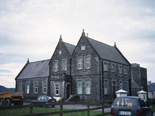 The Cable Stationcoastguard station · 975 yd
 Butler MemorialMemorial · 1441 yd
 T. C. Millerick MemorialMemorial · 1679 yd
 Waterville PromenadeWalking route · 1.0 mi
 Inny StrandBeach / strand · 1.4 mi
 CastleCastle, tower house · 1.7 mi
 Reenrow BeachBeach / strand · 2.2 mi
 Emlagh LoopWalking route · 2.3 mi
 Bá na ScealgBay · 2.8 mi