What is recorded here
Gallaun stands 3.43 metres tall inside Cromwell's Fort on the Iveragh Peninsula, proving that human ambition repeatedly stacks new meanings onto old stone rather than erasing what came before. A leaning slab now braces its base, perhaps added after Chatterton recorded in 1839 that the upright could still be shaken, turning a prehistoric marker into a small exercise in continued care. The fort may have been built around the stone or merely beside it, but either choice created a place where centuries stop competing and begin sharing one address.
The 'Gallaun' marked on the OS maps at this location is no longer in situ. It was sited in rough land W of Lough Currane.
The above description is derived from A. O'Sullivan and J. Sheehan (compilers), 'The Iveragh peninsula: an archaeological survey of South Kerry'. Cork University Press (1996), no. 251. In certain instances the entries have been revised and updated in the light of recent research.
Date of upload: 28 July 2013
The monument record does not grant public access. Check the route and ask the landowner before entering private land.
- What survives
- Recorded monument
Places near here
 Indicated (1846).Fairy fort / earthen ringfort · 448 yd
 Iveragh Lodgehunting/fishing lodge · 1002 yd
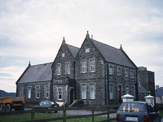 The Cable Stationcoastguard station · 1184 yd
 SheepfoldHut site · 1216 yd
 Butler MemorialMemorial · 1674 yd
 T. C. Millerick MemorialMemorial · 1.1 mi
 Waterville PromenadeWalking route · 1.2 mi
 Inny StrandBeach / strand · 1.3 mi
 CastleCastle, tower house · 1.8 mi
 Reenrow BeachBeach / strand · 2.1 mi
 Emlagh LoopWalking route · 2.2 mi
 Bá na ScealgBay · 2.8 mi