What is recorded here
Speenoge keeps a standing stone hidden beneath marshy pasture, though no map ever marked it. The stone may still stand where grass and water swallow its shape, waiting for someone willing to walk the rough ground and look without evidence. What is missing on the page may be exactly what the land protects: a marker old enough to disappear from human memory but young enough to have been set by hands.
There is no trace of the 'Standing Stone' marked on the 1st edition of the OS 6-inch map. Situated on fairly rough marshy pasture land sloping down to NW.
The above description was derived from the 'Archaeological Survey of County Donegal. A description of the field antiquities of the County from the Mesolithic Period to the 17th century.' Compiled by: Brian Lacey with Eamon Cody, Claire Cotter, Judy Cuppage, Noel Dunne, Vincent Hurley, Celie O'Rahilly, Paul Walsh and Seán Ó Nualláin (Lifford: Donegal County Council, 1983). In certain instances the entries have been revised and updated.
Date of upload: 22 September 2008
This remains an important historical record, but the official description says the monument is no longer visible or has been destroyed. The monument record does not grant public access. Check the route and ask the landowner before entering private land.
- What survives
- No visible remains or recorded as destroyed
Places near here
 Greenan MountainMountain / peak · 438 yd
 Grianán of AileachFairy fort / stone ringfort · 440 yd
 Grianán of Aileach Outer HillfortHillfort · 440 yd
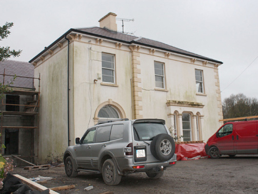 Burt Housecountry house · 1451 yd
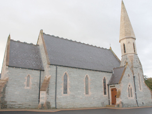 An Grianán Old Church Restaurantchurch/chapel · 1564 yd
 Emmery Celtic CrossWood · 1.8 mi
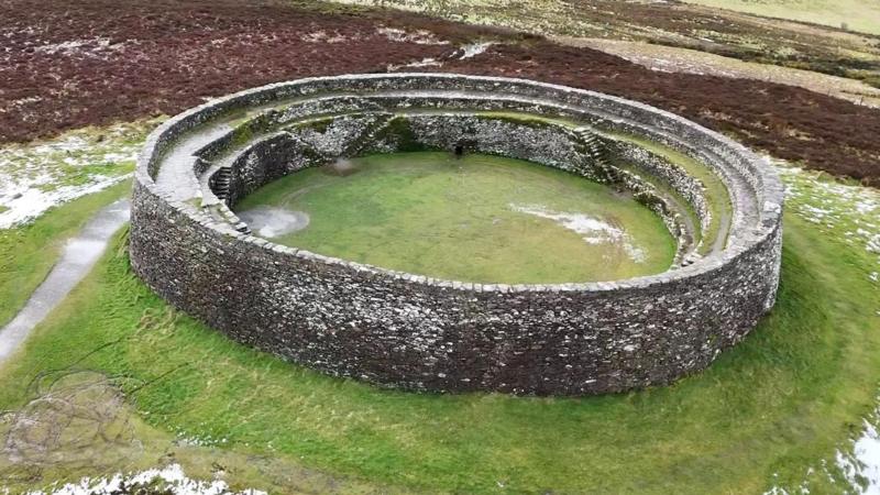 Bunnamayne Levelled Fairy FortFairy fort / earthen ringfort · 2.4 mi
 Burt CastleCastle, tower house · 2.8 mi
 CastleCastle, unclassified · 2.9 mi
 Cashel HillMountain / peak · 3.1 mi
 Mass RockNamed rock · 3.5 mi
 King's GraveArchaeological place · 3.6 mi