What is recorded here
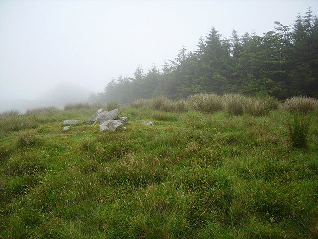
Indicated is a circular fairy fort atop a Cork hillock, its earthen bank still standing two metres high despite decades of pastoral neglect. The SSE entrance wears upright slabs like bookends, framing a gap wide enough for a person but narrow enough to force humility. Inside, deciduous trees have swallowed the centre, their roots gripping the soil where human hands once shaped the boundary. The underground passage beside the entrance suggests the fort was never merely a marker; it was a threshold, inviting entry into darkness beneath the grass.
In pasture, atop hillock. Circular area (42.5m N-S; 40m E-W) enclosed by earthen bank (H 2.15m) WSW-NE, with large stones atop bank N->NE; position of bank defined by large slabs at intervals NE->SE; stone bank (Wth 1.5m) SE->SSW. Entrance (Wth 1.6m) to SSE, defined by upright slab on each side. Interior overgrown with deciduous trees; Man-made underground passage (CO133-052---) in side entrance.
The above description is derived from the published 'Archaeological Inventory of County Cork. Volume 1: West Cork' (Dublin: Stationery Office, 1992). In certain instances the entries have been revised and updated in the light of recent research.
Date of upload/revision: 14 January 2009
The monument record does not grant public access. Check the route and ask the landowner before entering private land.
- What survives
- Recorded monument
Places near here
 Man-made underground passage in SparrogradaMan-made underground passage · 1 yd
 Bawnknockane Burial GdGraveyard · 759 yd
 KnockaphukeenMountain / peak · 1026 yd
 farm housefarm house · 1564 yd
 Coolagh Cottagehouse · 1.7 mi
 Danno O’Mahony statueMemorial · 1.8 mi
 Ballydehob's 3-Arch Road BridgeVisitor information · 1.8 mi
 Ballydehob Railway StationVisitor information · 1.8 mi
 Derrylahard EastMountain / peak · 2.0 mi
 Barnageehy Loop WalkWalking route · 2.2 mi
 Kilcoe CastleCastle · 3.6 mi
 Mannin BegIslet · 3.6 mi